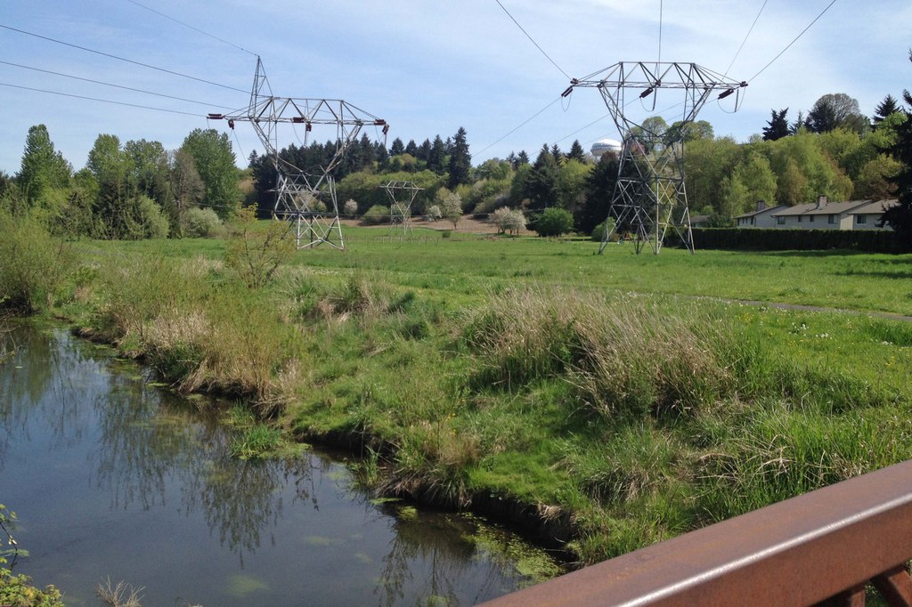

The middle section of the Burnt Bridge Creek trail extends from Devine Road to Leverich Park. In this section of the trail, the character becomes more urban and passes close to houses and soccer fields. Nonetheless, the trail passes through some open grassy areas where you may spot a raptor looking for lunch.
From the Devine Road trailhead, follow the trail west. The trail crosses E 18th Street and E Fourth Plain Blvd in another 0.4 mile.
From E Fourth Plain Blvd the trail goes past a large grassy area and drops down past some apartments into a forest and along Burnt Bridge Creek. Near SR 500 the trail passes a large patch of Jewelweed with its pendulous orange flowers. Be sure to check out the seed pods in the fall. They will pop in your hand and shoot their seeds far.
The trail follows along SR 500 but the highway is high above. The trail crosses under an overpass and climbs up to St. Johns Road.
Heading west, cross St. John’s and drop down along Burnt Bridge Creek. The trail passes through a meadow and along the edge of a forest with the sounds of the highway in the distance. The trail comes out on a subdivision road. Follow the road up to 15th Avenue, go across the street, and continue into Leverich Park. The trail passes by a disc golf area which is very popular.
Once in the park, make the first right and skirt the park. You will come to the Leverich Park Trailhead in about 0.3 mile.
Burnt Bridge Creek - Middle Section

-
 Length
- 7.6 miles, roundtrip
-
 Elevation Gain
- 120 feet
-
 Highest Point
- 190 feet
The middle section of the Burnt Bridge Creek trail extends from Devine Road to Leverich Park. In this section of the trail, the character becomes more urban and passes close to houses and soccer fields. Nonetheless, the trail passes through some open grassy areas where you may spot a raptor looking for lunch.
Continue reading
Hiking Burnt Bridge Creek - Middle Section
Map & Directions
 Trailhead
Before You Go
Parking Pass/Entry Fee
NoneWTA Pro Tip: Save a copy of our directions before you leave! App-based driving directions aren't always accurate and data connections may be unreliable as you drive to the trailhead.
Getting There
driving directions
From I-5, take exit 1C and go east on Mill Plain Blvd. for 2.6 miles. Turn left on Devine Road and go 0.3 miles to a small parking area on the right side of the road near the bottom of the hill.
take transit
This trailhead is accessible by bus! Plan your visit by bus using TOTAGO, or consult the schedule for C-Tran route number 30.


