Another great loop hike, after doing a Sunrise loop last week.
Stats
- Distance: 10-3/4 miles (2 miles due to parking)
- Duration: 6-1/4 hours
- Vertical: 2490 feet
- Weather: sunny, 60s to 70s, no wind, some smoke, bugs later in afternoon and near Spray Park (we have bites)
- Takeaway: BLUEBERRIES are out (we gorged), as is fall color; route-finding skills needed and GPS skills desirable; considerable scrambling down from Knapsack Pass (talus to large bounders); unique view of Spray Park and Rainier from trail; only one easily navigable snowfield crossing remains
Mowich Lake area was very busy, and we parked about one mile down the road. One thing you can say about this area is that there is plenty of overflow parking! Many folks are there to recreate on Mowich Lake, which was stunning in the bright sunshine (ala Emerald Cove at Lake Tahoe... I do need to come back with pack raft and hammocks and just chill). I did not mind parking a distance away, but I upon reaching the Ranger Station, where the "unmaintained" trail up to Knapsack Pass begins, I discovered I had forgotten my GPS (needed on this trail) and would need to go back for it! (not included in stats) At least the road was not that dusty after recent rains, so walking the road was much more pleasant than my last trip. My buddy waited at the Ranger Station and cleared out the Blueberries - sorry, Mr Ranger :)
At the Ranger Station, the beginning of the Knapsack Pass trail is to the left looking at the front door. No...you so not need to follow the visible trail up to the Ranger's outhouse as we did, depite the Ranger having given us the low down a mere half hour earlier (OK... I was frazzled from having to walk all the way back to the car). There is a sign indicating that the trail is "unmaintained" which roughly translates to "quiet and peaceful" for me. It did not disappoint. Up to the pass, there is no point where the trail is not obvious, and the trail is easily manageable, only with perhaps fewer switchbacks and a more aggressive incline than is typical. That is not true of the decent from the pass, especially given that recent rain has pretty much erased dustry footprints of other adventurers. I loaded my waypoints from Gaia and they nailed the correct trail for the descent from the pass to Spray Park.
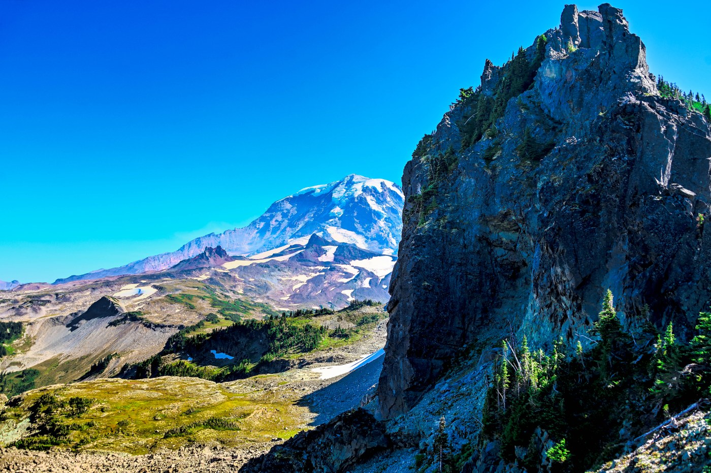
There are a number of minor junctions on the trail (always clear which trail is the main trail) to bag various peaks surrounding the trail. Given that this was our first time on this route, we kept it simple. At Knapsack Pass itself, Rainier comes into view, and you reach what amounts to a 3-way junction. We headed straight, to descend into Knapsack basin, and eventually meet up with the Spray Park trail just before the find ascent to the high point on that trail, and the cross-over into Seattle Park.
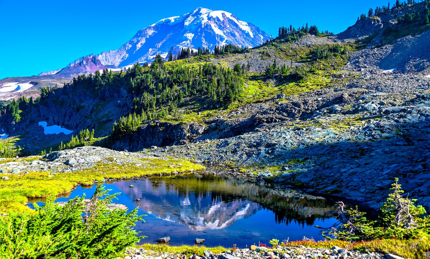
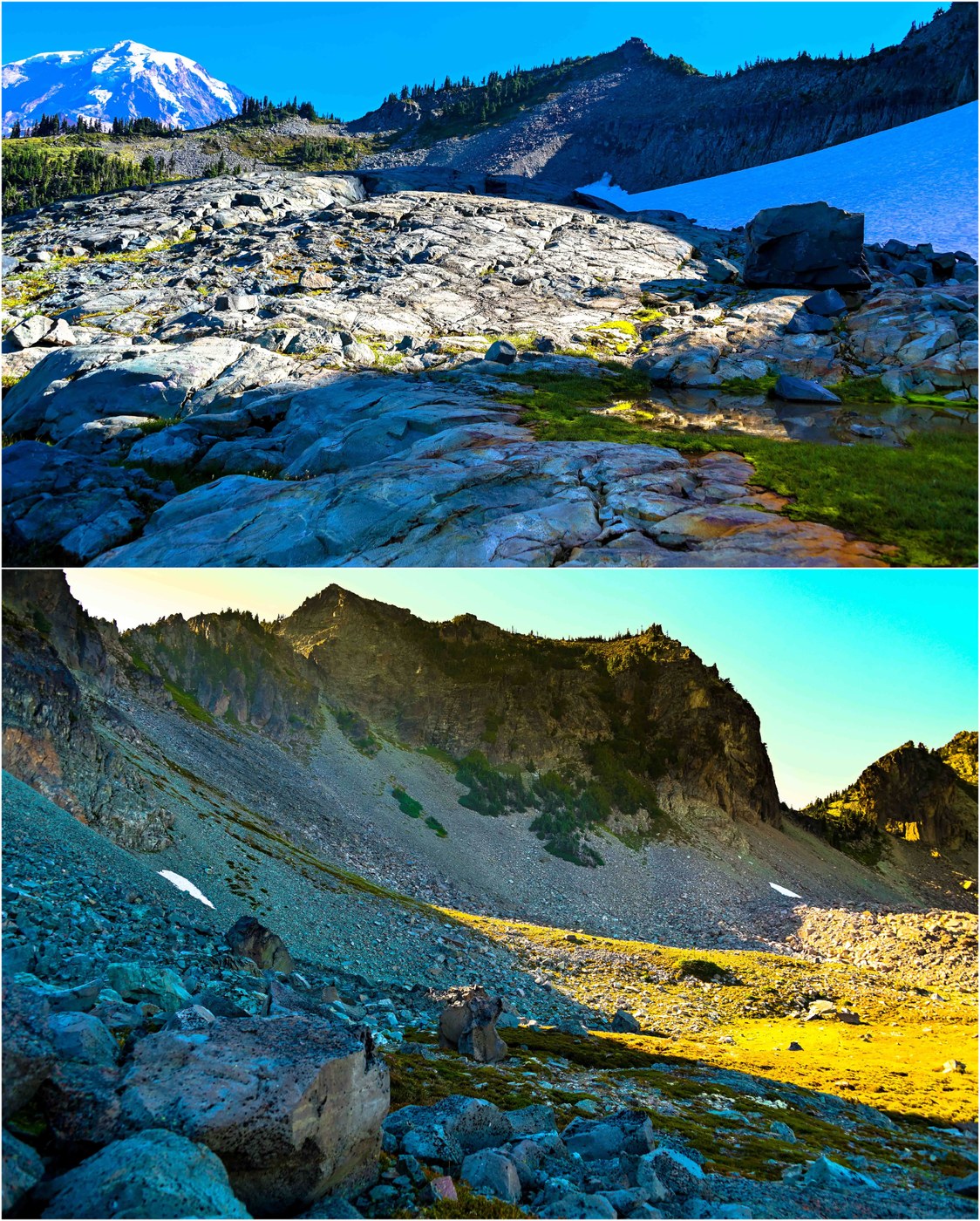
The descent into Knapsack basin is challenging the first time, as I was not sure what to expect, and the "trail", such as is there is one, is not obvious. This is a mile of talus and boulders than one much navigate carefully. My GPS waypoints were more useful from a "general direction" point of view - this is wide open area of rock and tarns - stunning. There are cairns here and there, but it kind of like rock-on-rock, so not entirely obvious. I equated the route finding to a vision test where you try to spot blue dots outlining a number in a sea of green dots. Despite the rain, the trail is fairly obvious if you observe the terrain. Once past the extensive rock gardens below a rocky headwall running parallel to the trail, you eventually reach meadows again, a short snowfield, and then a meadow up-and-down route back to Spray Park. The trail becomes more and more prominant the closer you get to Spray Park.
The route has rockfall potential - you might consider a helmet. Certainly, poles are recommended. I prefer to use just one to keep one hand free. This worked just fine. There is no real exposure to speak of (my buddy might not feel the same way). I did the route clockwise which guarantees you stunning views the whole way. I could not imagine why one would do counterclockwise with your back to the mountain. The views above Spray Park from the descent trail are spectacular, but really the varying terrain and views make this loop a winner on all fronts.
We merged onto the "Spray Park Freeway" for our return to Mowich. We saw few people the whole day, and the return was no different. There are more flowers than expected throughout the entire route, as well as fall color that is increasing week by week. It is a nice combination. And of course... it is BLUEBERRY season!


Comments