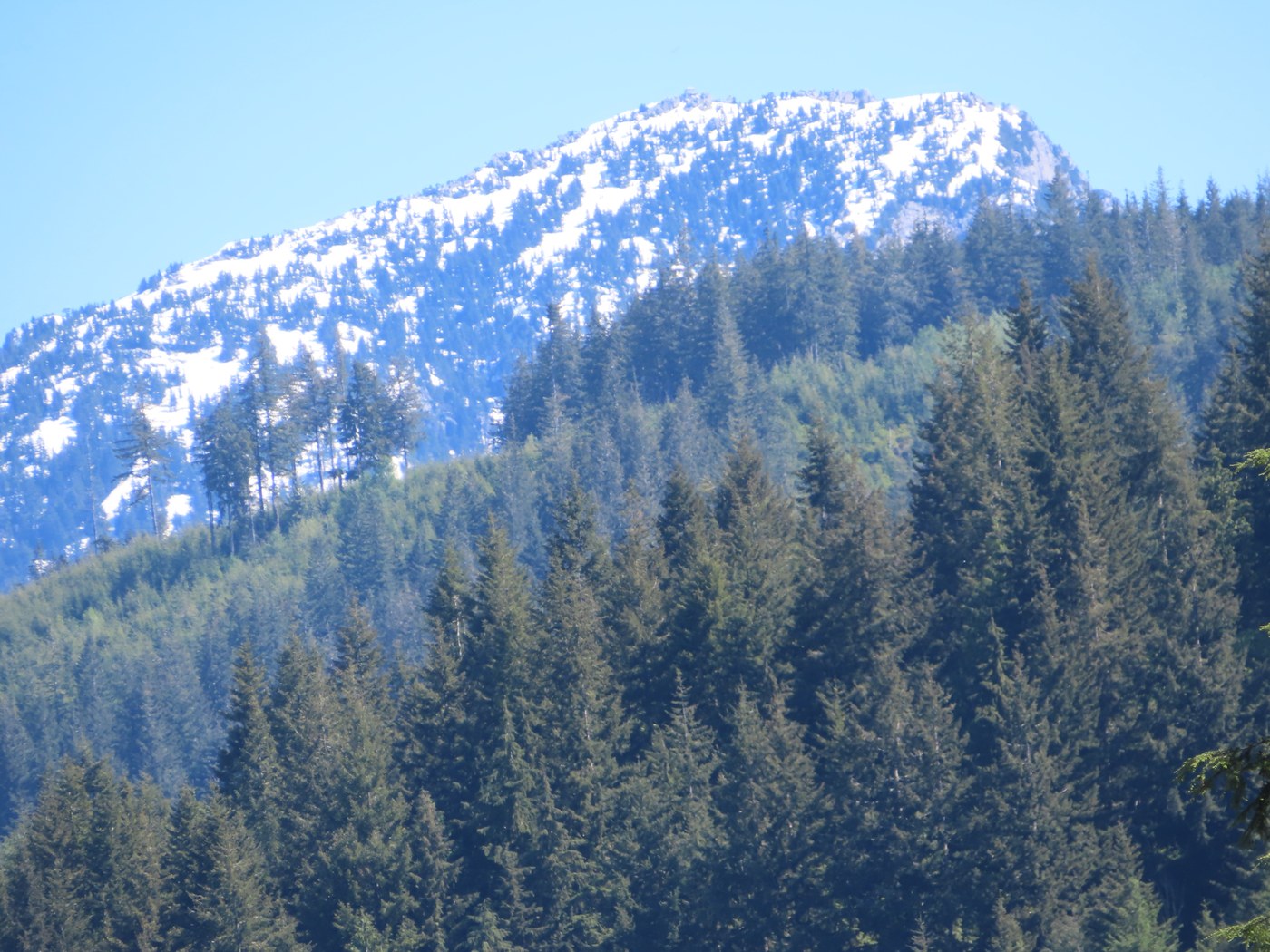
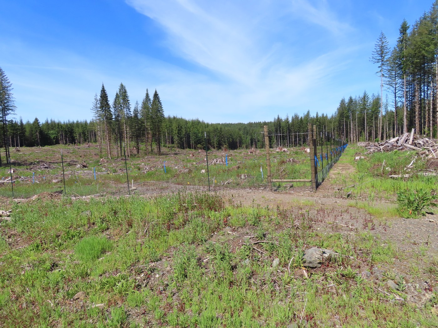
It had been four years since I had last hiked to Explorer Falls. The first time to the falls was back in 1968. After turning off the S. Lake Roesiger Road by the store, I headed east on the Monroe Log Road past Camp Edward (BSA) to the "trailhead" on a DNR road. Parked near the DNR rusty white gate with a Discover Pass required even through there is no restroom or even a "real" trail. There are no DNR trails in this area. The first 100 yards up the road from the gate is the steepest part of this hike, the rest of the way to the falls is pretty moderate. After 1/2 mile I could see a large pond down through the trees to the south. Up ahead I could see a DNR clearcut area and Mt. Pilchuck in the background. When I got down to the clearcut I saw that it had been replanted with Doug Fir trees. On the west side of the road many acres had been fenced off with an 8-foot-tall fence that had 2"x2" plastic mesh. The fence was attached to metal and wood fence posts with zip-ties. Looked like some kind of tree research area.
After passing the clearcut area I took the first road to the right, went through the NE corner of the same clearcut, then reentered the conifer forest. I was soon back on the old Echo Lake Truck Trail Road and hiked it downhill to the falls. There is a trail from the road going left to get to a fork of Woods Creek. The waterfall is up the canyon from where you first come to the creek. The Echo Lake Trail Road was the original way to get to Explorer Falls when I first saw it 54 years ago. This route is now closed by the City of Everett Water Department since part of it is on their property.
With the creek running high today, so I did not cross it (no bridge) to hike up the Explorer Ridge Trail that goes above the falls, crosses an old logging railroad grade, then switchbacks up the hillside to get to another DNR road. I just had my trail shoes for the road walk and not boots, so did not want wet feet. Parts of this DNR land has been logged three times. First by the Monroe Logging Co. with steam locomotives hauling log trains from 1922 to 1940. They logged 4,400 acres from land they had bought from the Northern Pacific Railway. DNR logged part it in 1968 and again a few years ago. I was on the DNR fire crew out of Sultan when we slashed burned the area in the summer of 1968. No more slash burning these days.
On the hike back I met two young women with a Pug dog heading to the falls. We had a nice chat, and I gave them some history of the area. Further along one guy came by. The only wildlife I saw was one Robin and a Garder snake. So was a no crowd hike on this sunny day.
Note: WTA has this hike off the Mountain Loop Highway, but it is not. The trailhead is 10 miles south of Granite Falls east of Lake Roesiger near the Boy Scout camp. George


Comments
mato on Explorer Falls
It's about time WTA revised the hike description - the "trail" does not go through City of Everett property anymore; in fact, you can't even park at the old TH. The hike is entirely on DNR land now, and perfectly OK to use. Watch for trucks! (and crazy guys on electric bikes.)
Posted by:
mato on Jun 07, 2022 06:50 PM
SavvyExploring on Explorer Falls
Great info! Since you seem to know a lot about the area, any idea what the cave hole to the right side of the falls is? I saw some large gage old cable near the falls and wonder if it is related. Thanks!
Posted by:
SavvyExploring on Sep 15, 2024 09:35 PM