I'm normally in this area in March, at which point the gate at the bottom of Cougar Creek Road is still closed for the season (December through March), so part of my goal for this trip was to check out a new-to-me area!
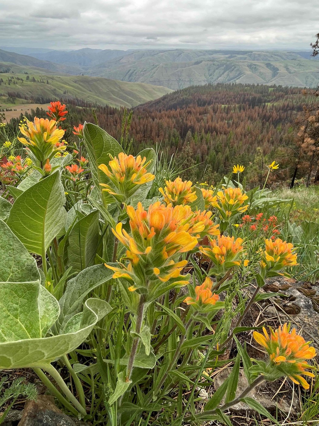
The 4-0 Ranch was widely impacted by a wildfire in 2024 that burned 6,000 acres, which may lead to challenging conditions in some portions of the property with higher fire impacts. It was a spotty burn, with some areas heavily impacted by intense fire (most trees dead), and other areas where the fire just cleaned out the understory but the majority of the trees look as though they will recover. The wildflowers are all out and are gorgeous in this area!
Cougar Creek Road is a dirt road that ascends into the heart of the 4-O Ranch. The sign at the bottom says it dead-ends in 7.5 miles. I never drove all the way to the end, but rather initially set my sights on the second gate on the left. The map indicated that there was an historic schoolhouse nearby, along with a big flat area marked as "The Bench" on the USGS map. There is a small pull off parking area near the gate, Discover Pass required (and important to not block the gate). It's possible to connect old farm roads for a trail experience, although I also did some cross-country wandering through the burn zones.
I hiked up to the old Mountain View School site first, and discovered that I was a year too late: the old building was destroyed in the fire. It was interesting to look at the burn footprint on the ground and try to imagine what the school might have looked like based on that. It must have been a big school in its day! After that I started climbing up to The Bench. I had heard some wildlife moving up the hillside ahead of me and was hoping to see which critters were moving around as I gained the top, but some WDFW workers passed me on 4-wheelers as I hiked up, so I never did see any wildlife. (In fact, this is the first time I've done a trip to the 4-O Ranch and did NOT see a giant herd of elk! But there were still tracks everywhere, and I have a feeling I just missed seeing them here.) With the chance of wildlife sighting gone, I had less interest in The Bench (which I could see was mostly a giant grass field surrounded by pines). I studied the map a bit more and opted for the cross-country climb to an area marked as "Mountain View" and "Whitetail Butte" on the USGS map, an area high point at 3,536'. The views from up there were fantastic!
After that I continued cross-country until re-intersecting one of the roadbeds that led me back toward the old school house and my car. I also did a quick sidetrip to the nearby "Autrey Cemetery" marked on the USGS map, which appeared to be 3 small graves at the edge of a cultivated field
After that I drove up the WDFW campground to check it out. It was a pretty spot with a bathroom, fire rings, about 6-8 campsites total, and a view facing east. I was very tempted to stay there but also wanted to go hike at Three Forks, so decided to move on. (Three Forks is USFS, NW Forest Pass required, 4-5 campsites with fire rings & picnic tables, and views facing west. I basically opted for sunset views over sunrise, plus I wanted to hike a portion of Three Forks. It's probably my favorite trail in the area!)
The next day I returned to hike from the first gate on the left, and I discovered that one of the main farm roads out of that area connects back up to roads from the second gate, so it's possible to put together a loop route on the old farm roads starting from either location. I did another big loop admiring the wildflowers, and I also discovered that there are some old farm buildings near McNeill Spring that survived the fire. It looks as though WDFW uses these buildings so I just snapped some photos and moved on. (Sidenote: McNeill Spring, along with all the other springs I walked to, looked pretty manky. I definitely recommend bringing enough drinking water in this area as opposed to relying on the springs for a refill.)


Comments