What may be the last day in 2025 of blue skies and warm temperatures motivated me to check off this bucket list hike. Fortunately, the trail and the trailhead access is unaffected by the current government shutdown.
The first thing to know is that the road to the trailhead (Forest Service road 1540) is NOT marked, either by the 1540 identifier or by signage indicating it is the way to the Hidden Lake trailhead. Just be aware that it is a gravel road angling off to the left as you drive on Cascade River Road, a little over a mile past the Marble Creek Campground.
Cascade River Road is paved and in excellent condition. However, as others have pointed out, the 4½ mile road to the trailhead is deeply rutted and potholed, and it will be slow going. The good news is that the worst part of it seems to be the first mile. I'm not saying the rest of it is a picnic, but if you can make it the first mile, you'll make it the rest of the way. It will, however, be nearly impossible for a low-clearance vehicle. I'd only attempt it in an SUV, pickup truck, or Jeep.
I arrived at the trailhead at about 10:15 AM. There were perhaps a dozen vehicles, and the "official" parking spots were all taken. However, there was plenty of additional parking . . . you can parallel park opposite the "official parking", and there are opportunities to park on the road.
The trail is generally in good condition. But, be aware the lower portion (in the forest) is quite rooty and rocky in spots . . .and the higher elevations are very rocky. Only the middle portion . . . the switchbacks up the valley . . . offer consistently soft tread. One note is that almost exactly at the 2.00 mile mark, there's a point where the trail forks and it is unclear which route to take. It turns out that the right fork is a switchback cut (though this is not apparent at the point of the fork), so be a good citizen and take the left. There are a few down trees covering the trail but none that present any significant difficulty.
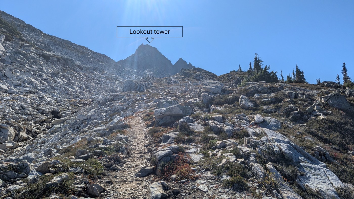
The last mile, and especially the last half mile, are the most difficult. The trail loses definition, and you'll be scrambling up large boulders. For route finding, look for cairns, footprints, and a white pole marking "NPS Boundary". I might suggest that there is an opportunity for a WTA work party to establish some more definitive route markers.
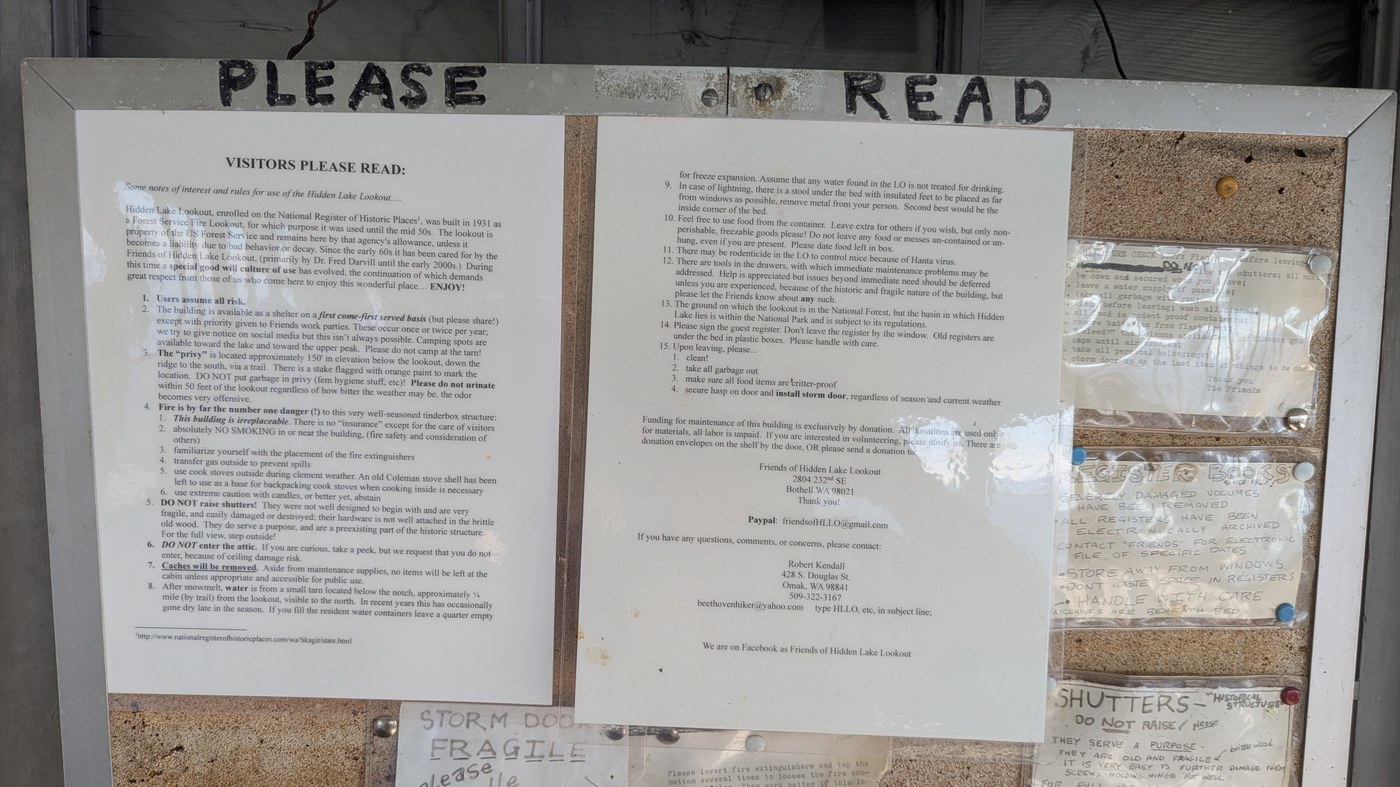
On this early October Wednesday, I shared the summit with about a dozen other hikers. The lookout tower was unlocked and hikers enjoyed having a look. The tower is in good condition and users seem to be doing a job keeping it neat and tidy.
There was one group at the summit that was a bit annoyingly loud. I'd like to suggest that hiking groups keep their conversation volume low, especially atop summits when most people are looking to enjoy the fabulous environs with a reasonable degree of quiet solitude.
On the descent, there are a few places where the trail routing is a bit ambiguous, but in all these cases, you'll either realize it's a dead end within 10-20 yards, or the various options will converge within a similar distance.
When I returned to the trailhead at 3:47 PM, I counted 17 vehicles parked.
My hiking data (I'm a male in my mid-50s in reasonably good shape but not an ex-Olympiad or Ironman participant; I hiked solo).
Started hike: 10:17 AM
Reached the lookout: 1:07 PM (so elapsed time up was 2 hours 50 minutes)
Departed the lookout: 1:32 PM
Reached trailhead: 3:47 PM (so elapsed time down was 2 hours 15 minutes)
My Garmin fitness watch recorded 24784 steps, 2204 calories burned (1764 active calories plus 440 resting calories).
My water consumption was about 2 liters.


Comments