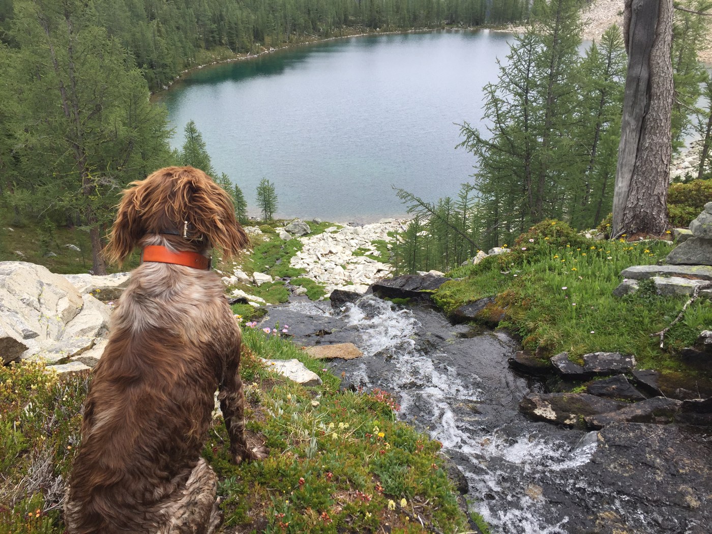
Hiked from Slate Pass to Tatoosh Buttes, then climbed Ptarmigan Peak and continued past Dot Lake, around Mt. Lago to Butte Pass, down and back up to Shellrock Pass, then past Doris and Fred Lakes on my way back to the Middle Fork of the Pasayten and up to Slate Pass. This was some beautiful hiking, but the portion from Dot Lake to Butte Pass was strenuous.
The drive up to Slate Pass is rough at times, but I imagine all vehicles can make it - you just may need to drive slower than the average bear over the potholes/washboard if you are in a small car. From the trailhead, the hike down the Middle Fork of the Pasyaten is slow, steady, easy, and in good shape. On my way out, I saw a pack train carrying in supplies for a WTA work party. I imagine they were going to do work out by the abandoned airstrip; the trail is in good shape all the way out there, at least by my eye.
Headed east towards Tatoosh Buttes, and the trail begins to climb through an old burn. The views become magnificent as you ascend, but one caveat - once you cross Lease Creek, there was no water until a small spring that was developed that crosses the trail on Tatoosh Butte (see photo). The hike across Tamarack Ridge was beautiful, and the ascent of Ptarmigan Peak was fun. From the peak, I dropped off towards Dot Peak, then went down the steep scree/boulder slopes to Dot Lake, which was lovely and had many small trout rising to its surface. I then traversed from the lake towards a spur ridge that came off Mt. Lago, and hiked down the very steep walls of that ridge into upper Ptarmigan Creek Basin, where I traversed at about 6400' and then climbed up to Butte Pass, where I rejoined a trail.
The trail leading from Butte Pass to the valley floor was still very intact, and although it is overgrown once you reach the valley floor, well-placed and very visible cairns marked the route up to Shellrock Pass. From Shellrock, it was a bit of a slog down towards Eureka Creek and up to the pass above Fred and Doris Lake; the trail had its fair share of windfall; but it was not difficult to navigate (except for a short stretch where I lost it just after it crosses the creek after descending from Shellrock Pass). Then a quick hike down to the Pasayten River, and back to the trailhead.
The off trail section was a challenge, and I relied heavily upon my Green Trails Map. Overall, this hike was exceedingly beautiful, and the environment felt very remote, which was a lot of fun.


Comments