Yacolt Burn - Bells Mountain
Day Work Party
 Thu Jan 29, 2026: 8:30 AM — 3:30 PM
 Sign in to My Backpack
 Region
Southwest — Columbia River Gorge - WA
Features: Earn Discover Pass
Crew Leader: James Alexander
Overview
This work party will pick up where the work party from the previous Thursday left off, improving drainage on the Bells Mountain Trail. This means that you may caravan in to a closer location to cut down on your hike; your crew leader will be in touch if the starting location changes from what is posted here.
About the Area
Close to several cities in Southwest Washington, the Yacolt Burn State Forest is a hiker, biker, or trail runner's dream. There are many trail options at low and mid-elevations, making it perfect for year-round adventures.
What to Expect
We'll have fun, work hard and make a difference! Be prepared for a variety of projects. No experience is necessary.
Project Description
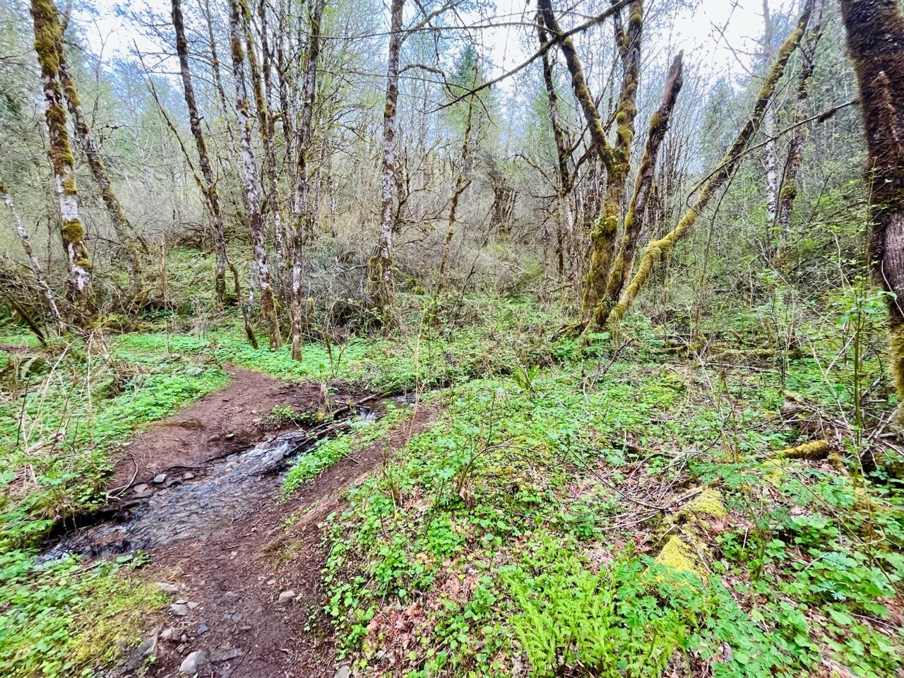
You will meet at Cold Creek campground and access the Bells Mountain trail from here. You will move up trail slowly, stopping frequently to use digging tools to address drainage issues and brushes to clean off any bridges you come to.
Hiking Information
Our hike to the project site is expected to be up to two miles round trip over rolling terrain.
Schedule
- 8:30 AM: Gather for introductions and safety briefing, then caravan in to the project site
- Morning: Work at your own pace, and take breaks throughout the day
- 12:00 PM: Lunch on the trail
- Afternoon: Consider trying a new task before wrapping up the day's work
- 3:30 PM: Discuss the day's work and enjoy refreshments at the trailhead
For safety reasons, arriving late or leaving early is not allowed.
Planning Information
Get ready for a great day outside!
What it Takes to Do This Work Party
- No experience is necessary—just bring a great attitude for working with a team! WTA provides the training and tools you need
- Expect to be physically active at your own pace for up to 6 hours each day on uneven terrain
- Recommended for ages 10 and older; under 14 must be accompanied by an adult and a parental consent form must be signed for anyone under 18
What to Wear
Required:
- Sturdy closed-toe shoes
- Work gloves
- Eye protection (glasses, sunglasses, or safety glasses)
- Long pants
Recommended:
- Sturdy work or hiking boots
- Long sleeved shirt
A hard hat will be provided by WTA. Additionally, work gloves and eye protection will be provided by WTA if you do not have your own, but when possible we recommend bringing your own. For safety reasons, certain tasks may be assigned based on the safety level of your footwear. Volunteers who do not have long pants, or sturdy closed toes shoes, will not be able to participate in the work party.
What to Bring
- A sense of fun and adventure for learning new skills and meeting great people!
- Lunch and plenty of water
- Rain jacket and pants
- Extra warm clothing in case of wet or cold weather
- A pack to carry your personal gear
Firearms and weapons are not allowed.
More Information
- Frequently Asked Questions
- WTA's Trail Work Guide introduces the type of work you may do
- Contact us at volunteer@wta.org or 206.625.1367
From the Hiking Guide
See what WTA's hiking guide and trip reports say about this area.
Partners
Directions
From I-5: take exit 11 for Battle Ground. Follow 219th St.(SR 502) east for about 6 miles. 219th becomes Main St. as you enter Battle Ground. At Battle Ground turn left (north) at the light signal onto SR 503 (Lewisville Highway). Follow SR 503 5.6 miles north past the Lewisville County Park then turn right at NE Rock Creek Road. (If you miss Rock Creek Road, then turn right at NE Beebe Road. It is the next right.)
The Tarbell trailhead is about 15 miles from the Rock Creek Road/SR 503 junction. Stay on Rock Creek Road and follow it south, it turns to the east and changes to Lucia Falls Road. Follow Lucia Falls Road past Moulton Falls County Park. You are now about 8 miles from the 503 jct. Just past the park turn right on NE Sunset Falls Road (Country Road 12.) and go 2 miles.
Turn right on Dole Valley Road/NE 312th Ave. and cross the bridge over the East Fork Lewis River. Follow Dole Valley Road. After 2.5 miles it will make a wide turn to the right, keep following it for 1.4 more miles until you get to the L-1300 Road. Turn right there. Cold Creek Campground will be on your right in 1.5 more miles. The day use area is past the campground on the left, roughly a quarter mile down a well-maintained gravel road.
Note: Please follow the written directions above instead of using a GPS device. This will ensure that you get to the correct meeting location for this work party. The location of the pinpoint below is only approximate.
Getting to WTA work parties can involve travel on rough, unpaved roads in areas without cellular service and without street addresses that can be accurately used by navigation devices. Unless specifically noted otherwise, routes can generally be traveled by all types of vehicles. Volunteers with limited experience driving on unpaved mountain roads may want to allow extra time, beyond what is recommended in the directions above, to get to the meeting location.
You must be part of this crew and have a My Backpack account to see the Crew Corner.
Sign in to My BackpackWhat is Crew Corner?
Crew Message Board
Stay on top of this work party’s messages.
Carpool
Find a ride, give a ride with people who also want to carpool.