Been looking to do this hike for a couple of weeks but did not want to do the 4.5 mile walk each way on Jungle Creek Road, so I thought I would try a different approach. Middle Fork Teanaway Road is clear just past the last residence and then the road is a foot deep of compacted snow. You could drive a 4x4 on it but I chose not to with a Subuaru. I parked here in front of a snow berm that covered half the road..
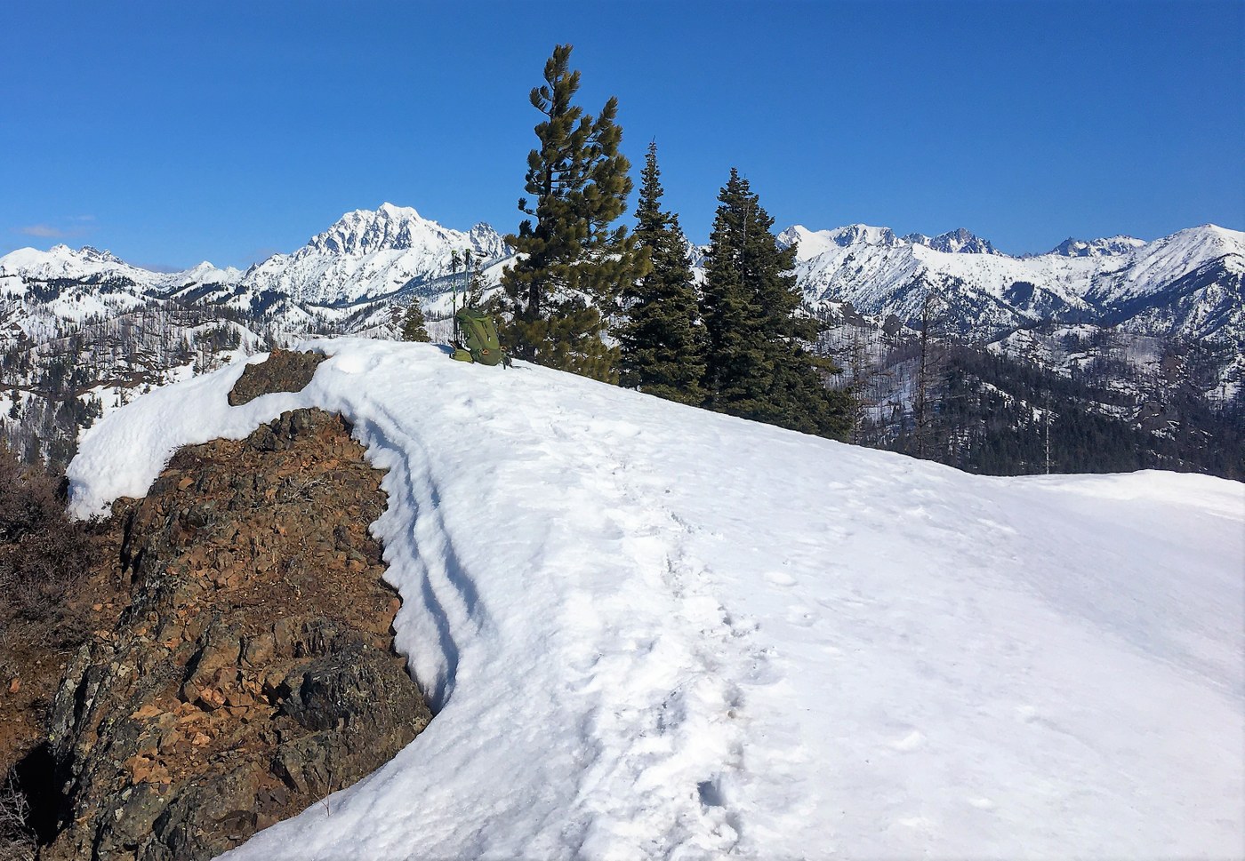
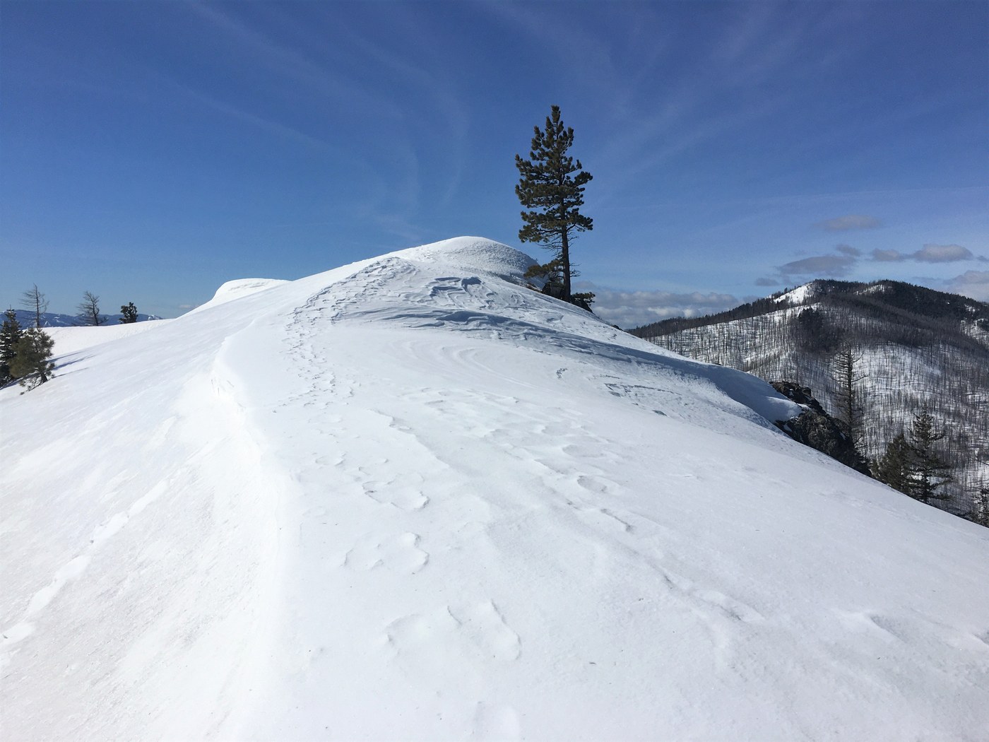
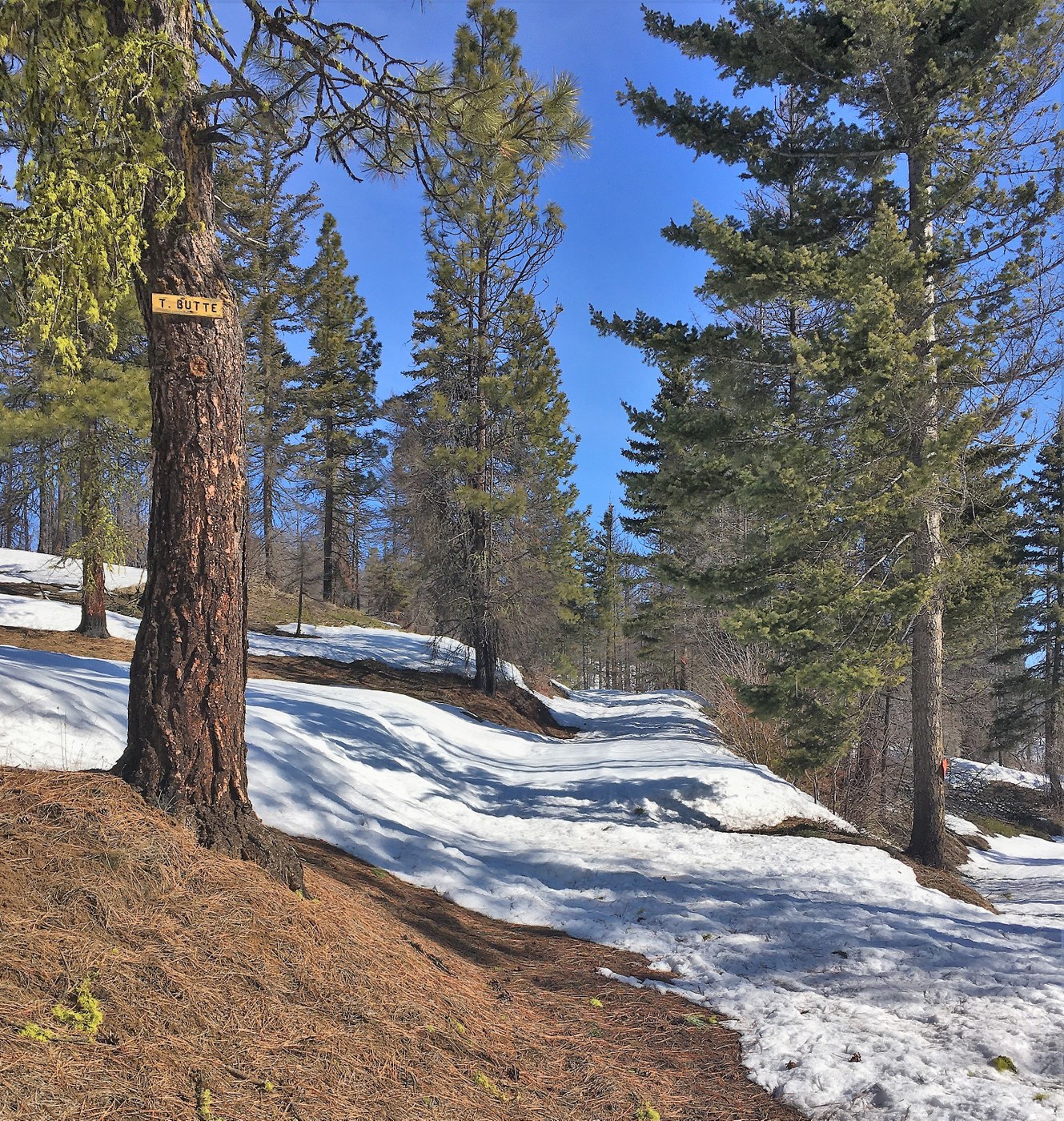
From here it is a 0.8 mile road walk to FS road 230. I took a right on FS 230 and took the road on up. Stayed on the road until just below the old Middle Teanaway Lookout site and headed straight up through the snow covered forest up to the old Lookout site which is at 3400 ft. Saw my first glimpse of Teanaway Butte from here along with the top of Mt Stuart. Found the road again and followed the road which actually dropped 70 ft in the next half a mile before heading back up. At 3600 ft there was a junction with a sign "T Butte". I followed the road up to the left. After a short distance there were a few blow downs on the road so the very old snowmobile tracks headed off the road to the left straight up so I followed them. The tracks then disappeared just before the burnt out forest. I just headed straight up thru the burnt out forest to a high point at 4460 ft. The views were great here. I post holed once so I put snowshoes on here and then headed down 60 vertical feet down to a saddle and then the final steep climb to the summit which is at 4760. At the saddle is where I saw the first tracks of any hikers. I assume they came from the Jungle Creek route as there have been recent reports for that route. The views from up top are fantastic. Well worth the trip.Mt Rainier was shrouded in the clouds but the rest was awesome! Started at 9:45 am and was back at the car at 2:10 pm. 10.8 miles RT with 2625 ft elevation gain with about 200 ft gain on the way back


Comments
Can you please share the gps track?!
Thank you
Posted by:
omelnikov on Feb 10, 2021 11:05 PM