
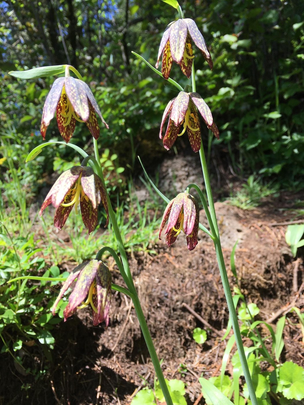
Archer Mountain Trail is a user-built trail that climbs about 1300 feet to a series of hanging meadows offering views of the Gorge, and wildflowers galore in April and May. There are two destinations: Scott Point, about 1000 foot gain, 1 hour, with view up High Valley to Archer Falls; and Arrow Point, 30 minutes further, near the summit of Archer Mountain, overlooking the Columbia River. In mid-summer expect some brushy stretches of trail. Archer Falls dries up in summer.
Directions: Hwy 14 to Smith Cripe Road, left to end of road. The last quarter mile is gravel.
From the TH gate follow the old road into an open field, then go right at the junction, in less than 1/4 mile the trail goes off to the right, down to cross Archer Creek on a well constructed log bridge with a log handrail. Follow the trail up some short steep switchbacks, to a series of bluff viewpoints and meadows. At a junction, Scott Point is to the left (less than 1/4 mile). To the right continues to Archer Mtn and Arrow Point. When it levels out on top there's a junction: Arrow Point is to the right. The trail traverses a steep slope which can be difficult for some, then it gets to the sharp point, ending at a spectacular viewpoint perched above the Columbia River.
There's a loop from Arrow Point back to the last junction. Follow a rough path up the ridge to the top of Archer, then back to the main trail. The fire in Sept 2017 scarred this ridge top. So there's less brush obstructing views; the Doug Firs are still alive, and groundcover has returned.
Comments