

Road: It is roughly twelve miles to the trailhead. The road is unpleasant, but passable, with any vehicle with “reasonable” clearance. The first portion was the worse - after the road turned uphill (after about four miles) it got better. It took us about one hour to the trailhead.
Trail: The trail was in good shape. Absolutely no snow on the trail.
Our destination: We stopped on a knoll on the divide at about 6300 ft.
Route finding tip: To continue on the Skyline Divide trail, head up at about 6000 ft, where there is a rather large cairn. This involves a tiny bit of rock scrambling.
Weather: good; no wind; pleasant temps
Visibility: increasing clouds with some haze.
Number of people: Quite a few - maybe 40 people all day.
Covid issues: About 1/2 the people wore masks; most were good about distancing (the primary offenders were folks in their late teens/ early twenties).
Bugs: Not too bad, but there were a fair number of mosquitoes in the meadows up high. Bug lotion seems to work on them.
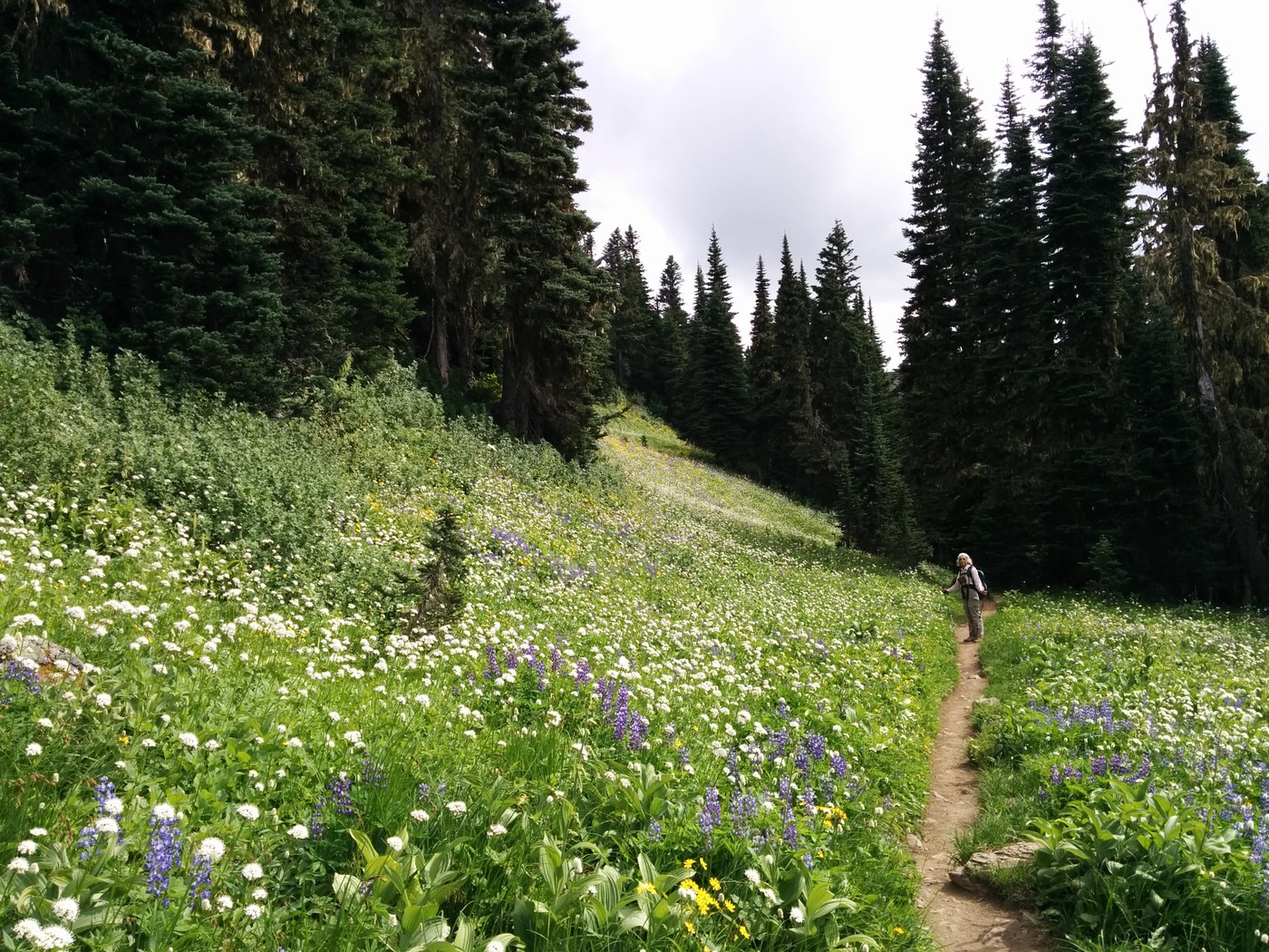
Flowers: There is spectacular display of flowers in the meadows along the long divide.
Companion: Amy
Time (for two geezers - one with pulmonary issues): 3:05 hrs car-to-knoll where we stopped at about 6300 ft. 5:20 hrs car-to-car
")
")
Comments