First, note that the GPS coordinates in the description as of 9-13-21 are inaccurate (several hundred feet west of the TH). Use 48.620117, -122.334885 instead. There was lots of available parking on both sides of the road. My car was the only one there when I started.
The trail is easily walkable. There are no obstructions except for a blown-down alder one can pass under, about 1.75 miles up the trail. I encountered only 2 other hikers during my trip. At the top, it was partly cloudy, but the views of Blanchard Mountain and Skagit Valley were unobstructed.
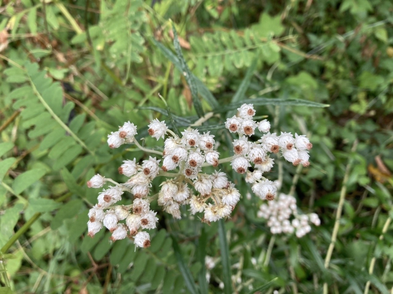
There were slightly past-ripe Himalayn blackberries. Robert's geranium and pearly everlasting were in bloom. However, herbicide and pesticide spraying in the summer probably suppressed the trailside wildflowers and makes berry consumption inadvisable.
Total time out-and-back was 2 hours, with 4.42 mi round-trip and 1150 feet of elevation gained.


Comments