I went up Tin Mine Trail starting from Gold Creek Trailhead after heading up Zion, since my friend and I hadn’t connected quite yet about afternoon plans. Great views, but it was blooming hot: the upper Tin Mine Trail is a clearcut area and the temps were in the 70s.
I got up to Gold Mountain via the road, which gave me awesome views of the Rain Shadow Court: from Lightning/Ellinor/Washington to Walker at the other end. Definitely a spot to go on a clear day where you’re caught for time, but most will go up Green Mountain instead. The views of the Cascades were slightly better from there (if I remember correctly) and it’s a lot more beautiful forested trail.
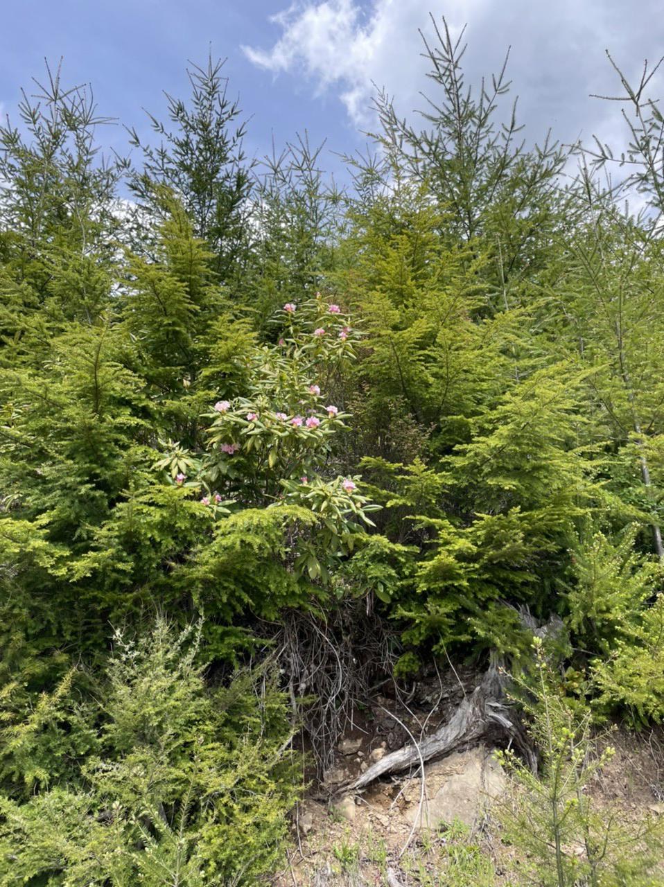
Definitely saw more than a handful of pink rhodies on my way up, along with some lupine, serviceberry, and some other flowers I didn’t recognize. And gobs of that invasive garbage, Scotch Broom.
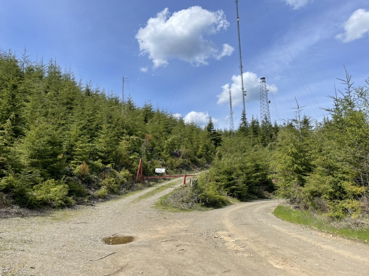
The area by Gold Mountain is uninteresting: just a bunch of radio towers and monoculture forest. The only reason why I went up there was for time reasons and because it’s an old lookout site.
You can make a big loop of Green and Gold Mountain via the road. You might be able to visit both via bike, but I think you’d have to come back via Gold Creek Trail (Tin Mine Trail was only open to foot traffic), or find a creative way of get back via the road.
The bushwhack suggestion is bad: there’s a ton of deadfall and scrub brush, as well as private property and leased land. I would just save the plan on walking the road (it’s only a mile or so longer to the high point).
Lookout/summit hunters: look for a power box along the right after the first two radio towers at the end of the road. Continue uphill following the faint trail by the power box to reach the true summit with a USGS benchmark. The GPS track attached to this Peakbagger entry is very helpful.


Comments