
Did a loop from Wallace Falls to Wallace Lake for a trail run yesterday and it was a lovely day out. We got to the trailhead around 10:30 and while the sign stated parking lot full, we drove up to give it a look and found someone leaving as we were arriving so we were able to snag a spot. But by the time we got back to the trailhead around 2:30 people had parked out along the street for at least 0.6 miles.
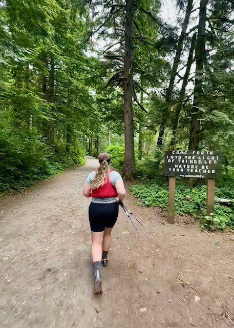
We set out on the trail and at the first fork we went right to take the Woody Trail up and see all the falls. The trail was pretty mobbed at late morning on a Saturday but surprisingly it didn't feel overly crowded, groups seemed to spread out through the climbs and mostly everyone was respectful of hiking etiquette.
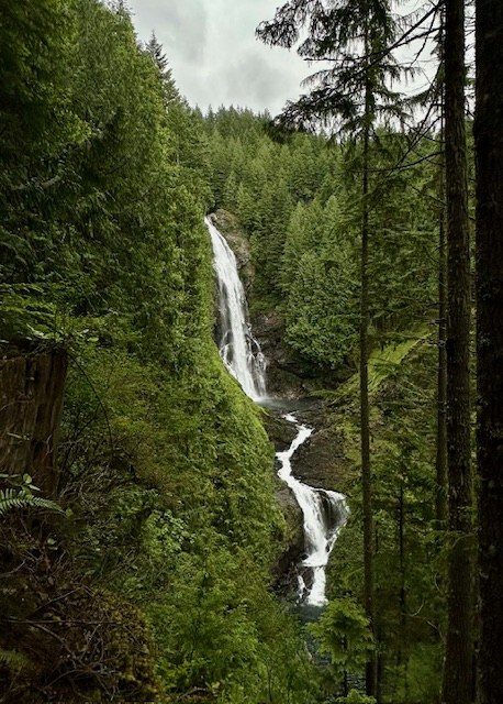
After 2.4 miles and 1,350 feet of elevation gain we got to the Upper Falls, we then dropped the crowds and continued on following the diamond trail markers or blazes along the trees for 0.2 miles up to the DNR road. At the road we continued to the left and followed the road for 1.3 miles until we met back up with a section of trail clearly marked for Wallace Lake on the right hand side of the road. Follow this trail for 0.5 miles until it spits you out onto a short section of road for 0.2 miles that connects you back to more trail heading up to Wallace Lake for about 0.5 miles. There are checkpoints with a map at many of these intersections and signs at all of them pointing you towards Wallace Lake. Even though you could probably navigate with the signs there are many intersections of trail and I would highly recommend downloading a map if you do this route to make sure you stay on route.
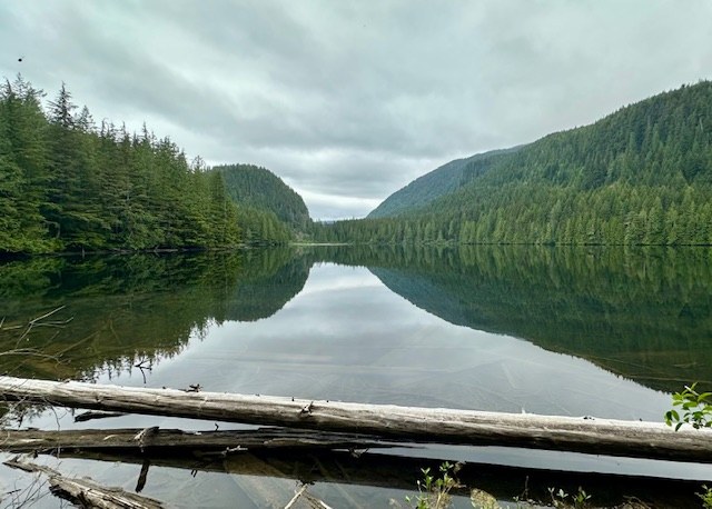
We arrived at Wallace Lake and headed around the west side of the lake just a bit to find a viewpoint, we ended up bushwhacking down a faint little trail that spit us out on some logs to get a view of the lake. Then we headed out down the Greg Ball Trail instead of back the way we came. Follow the Greg Ball for about 0.7 miles before it spits you back out onto the DNR road for 0.1 miles and then picks back up on the left side of the road. We took the Greg Ball from here for 1.7 miles all the way down until it meets the Railroad Grade Trail. We then followed the Railroad Grade for 2 miles avoiding the cutoff trails that dropped back to the Woody Trail. The Railroad grade eventually takes you back to the fork with the Woody Trail just 0.3 miles from the trailhead.
Overall stats came out to 10.59 miles and 1820 feet of elevation gain.

Comments