
Bald Mountain Ridge: "a route finder's dream" I should have read previous trip reports (see MeLuckyTarns's write-up from last year) before casually planning the ridge trail as a "quick" hike.
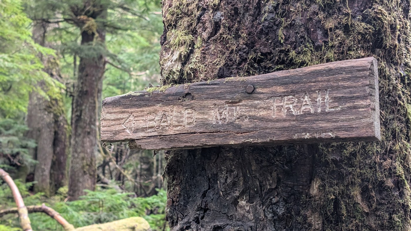
From Ashland Lakes, the trail has a few blowdowns and is slightly brushy, but is fairly easy to follow. Note that the main trail goes around the summit of Bald Mountain West Peak, so you'd have to go off trail to reach it.
A few blowdowns heading East into the valley, but the flagging is abundant and the trail is almost always visible. Continuing East from the valley campsite where the Pilchuck River begins, Mother Nature laughs at the victim that has willingly wandered this far into her domain and throws the navigation difficulty lever to "expert". This section should only be attempted for hikers with more daylight hours than I had budgeted and nicer weather than a windy drizzle. Map, compass, gps; use them all because you will need them all, and even then the vegetation is so dense that they're more like suggestions. Flagging is very inconsistent. Trees and bushes will grab and hug you, begging you to stay and live with them right there on the mountainside, and you'll have to kindly thank them for the offer but remind them that humans need coffee and music and to get home to feed their kitties that evening. At many points you'll say "Holy Muir this can't possibly be the trail" before catching a glimpse of more flagging directly ahead, and that's an ideal scenario. Occasionally you'll step through a portal into the past when the trail was first created and it becomes clear and easy and joyful to follow for a hundred feet or so. Then you'll reach sections like around the 3840 contour line where there's almost an acre of 10' high blowdowns that could probably be routed around if you're not in the increasingly agitated hurry I was.
It took well over an hour to go 1.65 miles before deciding to turn around due to not knowing how much more bushwhacking there would be, weather intensifying, and the prospect of route finding to this degree in the dark sounding terrifying. I'd like to say the way back was easier. I'd really like to.
As it is, this trail is probably a fun challenge if you have ample time and are determined (or resigned) to deal with a constant barrage of foliage. Enough hikers use and care about the trail to have put up flagging. They just needed to put up about 5x as much please. Might try this again in a drier month next year and add more.
Comments