Trip Report
Rock Mountain via Snowy Creek — Friday, Sep. 30, 2011
 Central Cascades > Stevens Pass - East

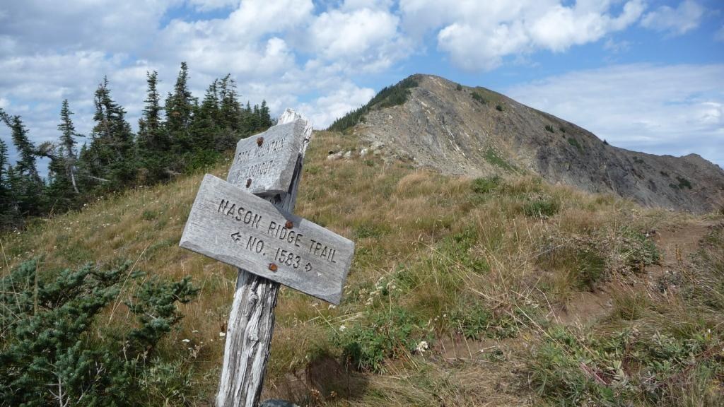
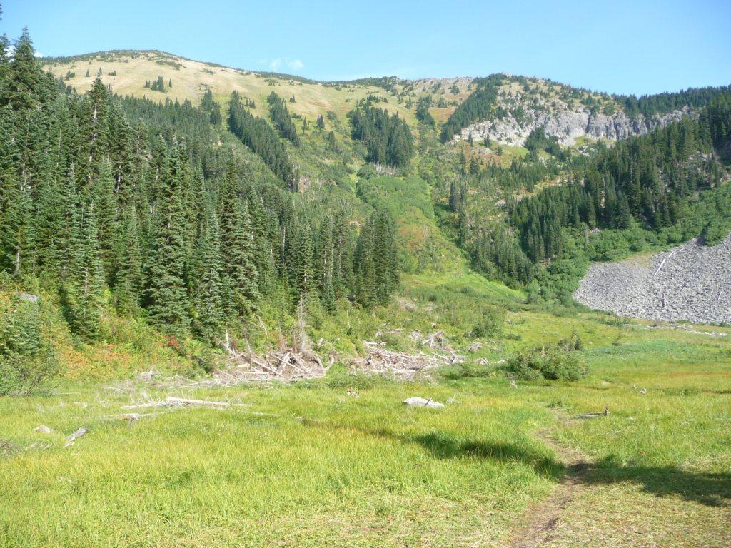
The weather was cool and partially sunny. Great weather for a hike. The access road is good but drive carefully as carelessness can take you over sharp and deep hillsides. At 5 miles from the Hwy 2 exit, there is a sign to the final turn to the trailhead. There is a blowdown on the road at the trailhead which is a good indicator that you “have reached your destination”. There is no proper parking lot or outhouse so do your business at the Skykomish ranger station. The trailhead sign is for the Snowy Creek Trail but this is the trail to Rock Mountain. No blowdowns and minimal bugs. There are a couple of shoulder-high brushy spots where you could get wet with morning dew. The first 3 miles have a gentle slope in the woods, then you enter a pleasant small meadow which is the last source of water. No flowers as their season is past. Look up at the ridgeline on your left and that is your destination…2200 ft of elevation gain in about 1.5 miles but it is worth it! Saw a bit of bear running away through the brush. The first half of this portion of the hike is in cool woods with the remainder in open, steep meadows with views that get better and better as the hike proceeds upwards. When you finally make the crest of the ridge you see a sign for the ‘lookout’ which is your destination. The view at the top is fantastic but I could not stay longer than half an hour as a storm was approaching from the west. There were no bugs for the whole hike!
Comments