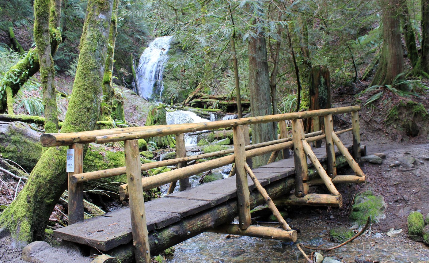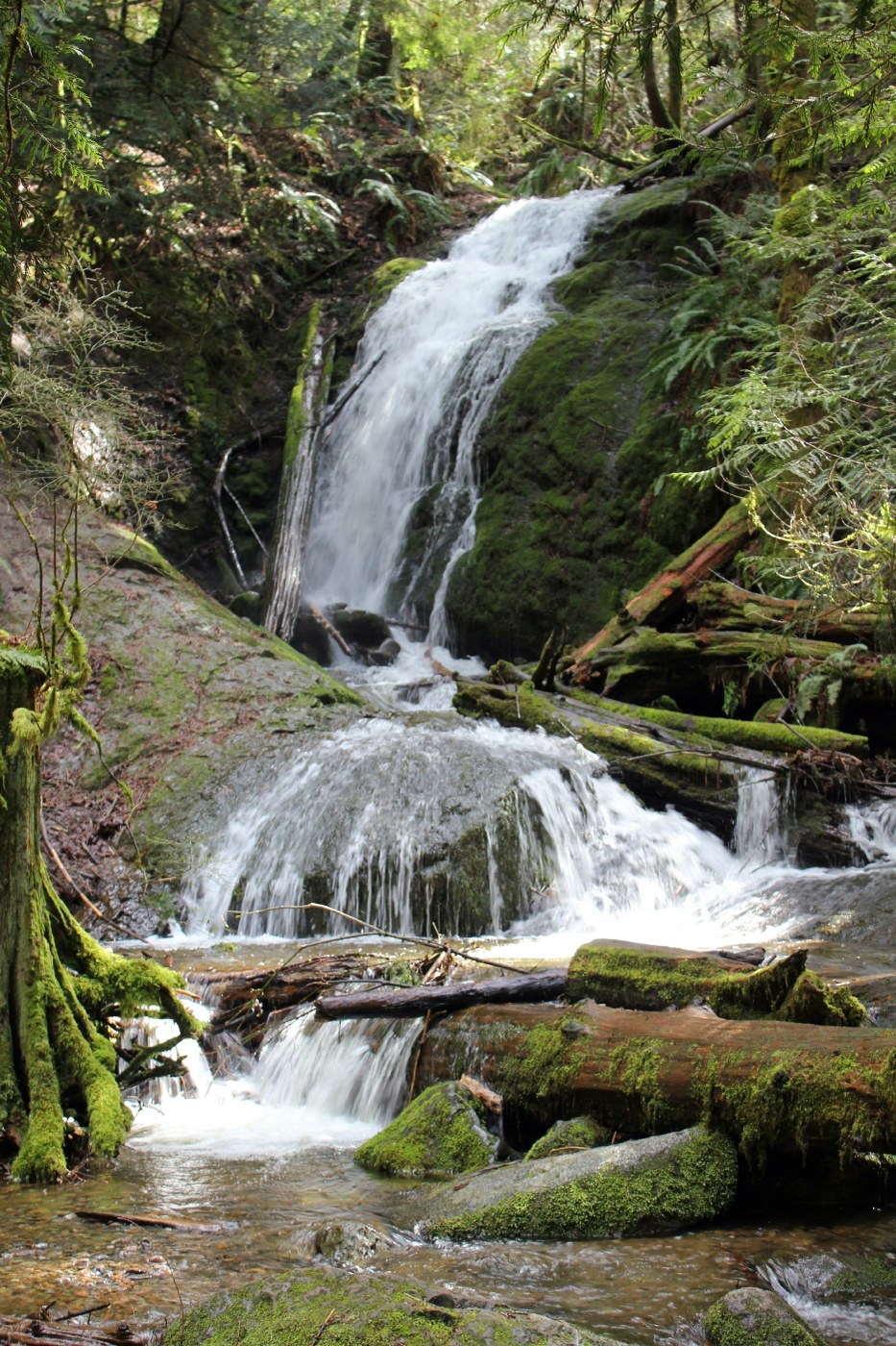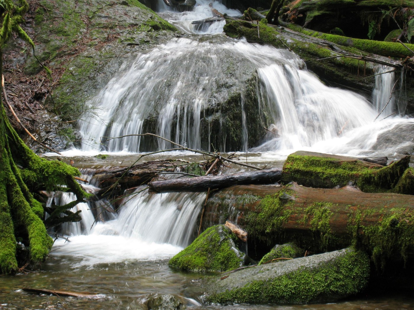
The trailhead is easy to find with plenty of room for several cars to park. The trailhead kiosk has a trail map posted and trail maps available to take on your hike or you can print one before you leave home. Visit: http://www.kingcounty.gov/recreation/parks/inventory/cougar.aspx
The advantages of this hike are the many options to take several different trails. Today the goal was to visit the falls. All intersections leading to the falls were well marked with trail names and distances. The trail was muddy in few spots but not a problem.
This is a wonderful family hike. The trail is wide for a majority of the time, the trail is a short one way distance of 1.25 miles and upon reaching the falls you are rewarded with a surprisingly nice close up view of the small, yet three tiered, waterfall next to a bridge providing a picturesque sight.


Comments