
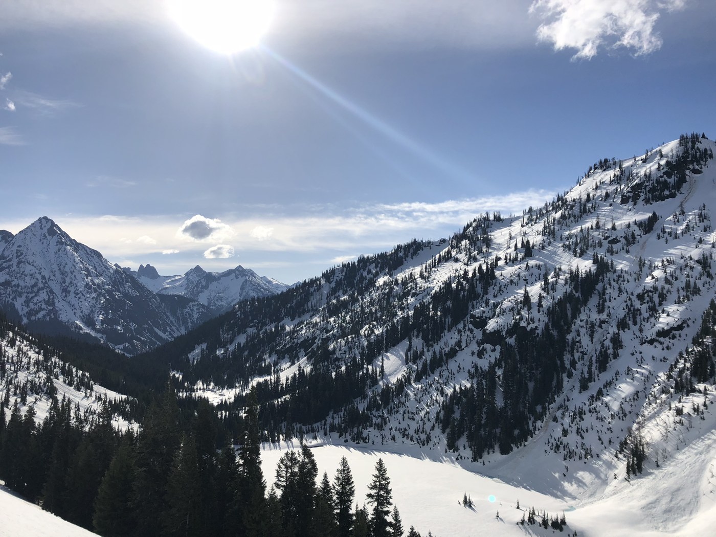
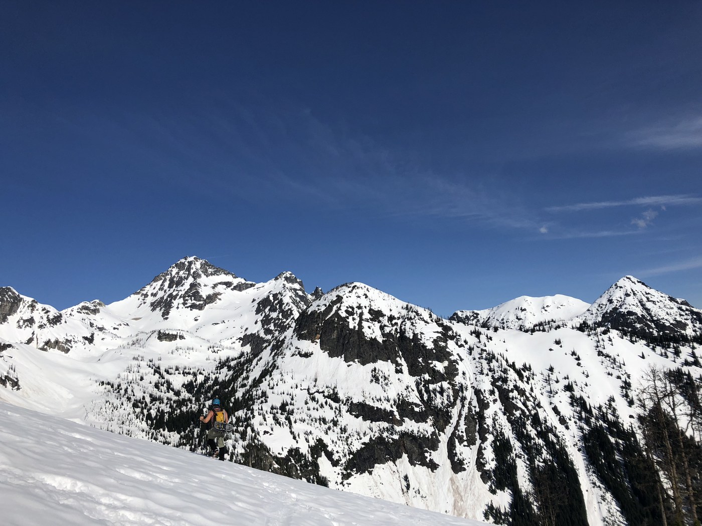
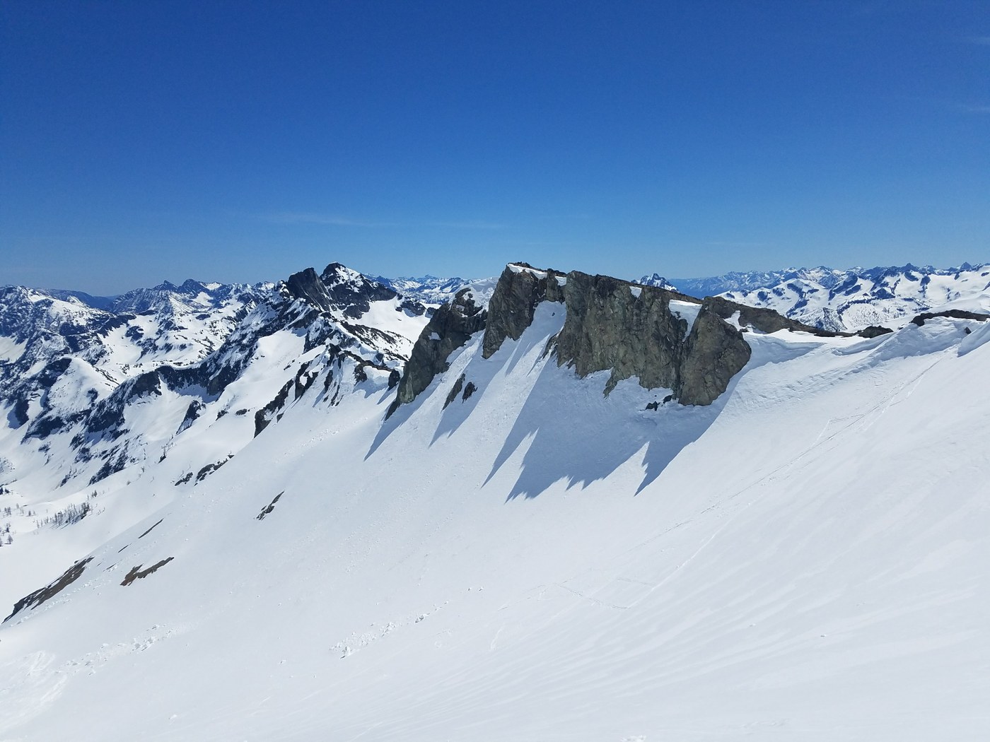
This section of highway 20 is open for the season! But be aware, there's about 10ft of snow covering the entire driveway leading up to the trailhead so there's only enough room to pull over on the highway and park. (So be ready to sleep in the car if you were hoping to camp at the trailhead the night before like we were.) We headed out the next morning around 6:15, crampons on from the start. Being the first day there were few tracks yet so we mostly relied on our GAIA maps. There’s some meandering through wooded areas before you hit Lake Ann so keep an eye out for the small water ways that are still hidden by the snow and could become more treacherous as the snow continues to melt. Crampons were sufficient until the snow started to get a bit slushier later in the morning, then we switched to snowshoes. We passed over a couple avalanche fields that looked pretty old but there were definitely still some cornices hanging out on some of the nearby ridges FYI. When you get passed Wing Lake and are heading up toward the South Col (this was at about 6 or 7 hours in for the 3 of us), be sure to check your topo map and follow the trail around to the left over the ridge, rather than heading straight toward the immediate left side of the base of the peak. We made this mistake because it didn’t LOOK much steeper from where we were standing and appeared to just cut out some distance but it led to two of us losing our footing and sliding a few hundred feet down the face (definitely have your ice in hand at this point if not sooner). We were approaching our turnaround time at this point anyway so between the soft snow, detour, and scaring ourselves with the falls, we decided to turn around rather than trying to make it over the ridge by the other path that a couple of skiers were coming down through at this point. When heading up this section, follow the ski tracks- not the snowshoes tracks if they’re still there. There were a couple other groups hiking in as we were heading back so the correct path should be more obvious now. Between that and a map, you should be fine finding your way. (We checked the map after we got down and it clearly showed the trail was further to the left than where we had gone). Despite not summiting, the views from where we turned around (and the entire way really) were stunning and totally worth it. Got back to the car around 5:40pm.
There’s not many trip reports for this hike so here’s a blog post we found from 2016 from around the same time of year that might be helpful: https://havetent.com/2016/05/03/black-peak/

Comments