
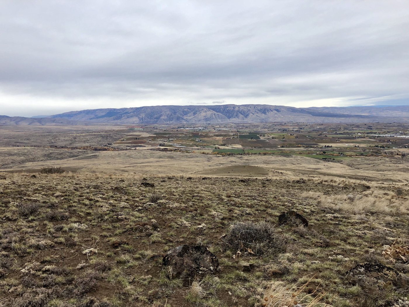
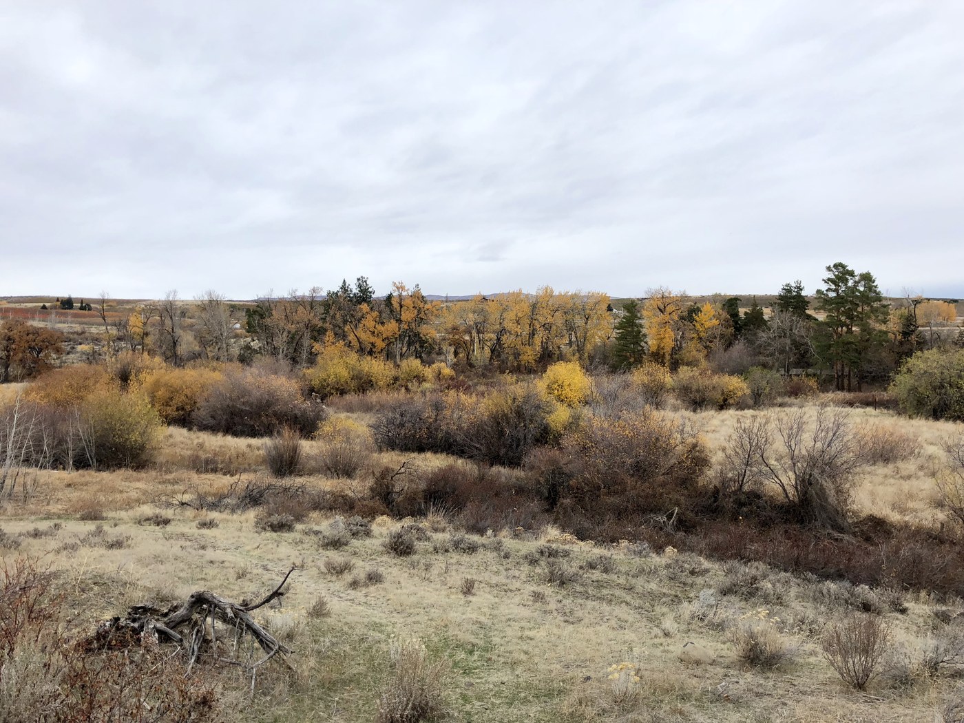
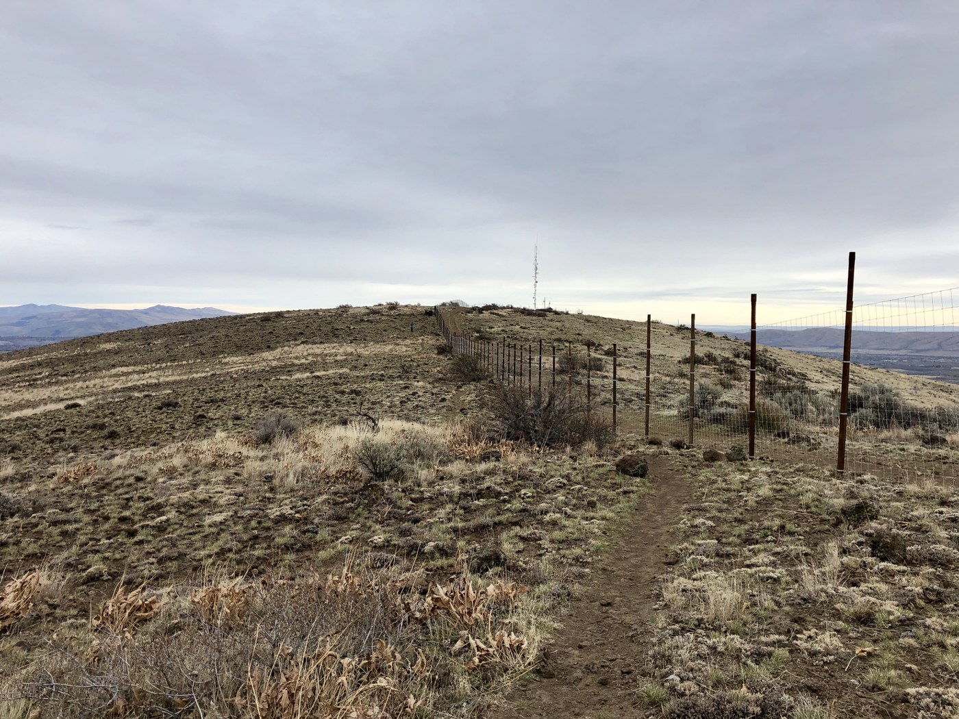
Nice network of trails in this remote area. Hit the trail at 12.30 pm, out at 2.30 pm. Hiked the loop CCW, starting with West trail and exiting at East. Met no more than half a dozen other hikers, so it was almost pure solitude. Views are sweeping yet monotonous: you’ll face the same side of a hill all the time. Don’t expect true 360 panoramas at the top due to fence. The trail should be fantastic when wildflowers are in blossom. Today it’s mostly gray land with islands of bright deciduous trees at the base of mountain.
A few ideas/tips about this trail:
- Looks like it could be closed if it’s too muddy. Don’t set out to the trailhead after significant rainfall in the area.
- There’re no brochures with maps left at the trailhead, so make sure to take a pic of the fixed map or just memorize names of the trails you will hit on your way. There’re quite a few of them!
- Junctions are clearly signed and trails are flagged where not obvious, so chances to get lost are close to zero.
- There’s a portable toilet just at the end of the Entry trail.
- I took the West trail instead of the Wildflower trail on the way up. They run parallel, but the West trail follows the bottom of ravine. The Wildflower trail is a better bet for views.
- The East trail is way steeper. Additionally, it crosses a couple ravines, thus adding to elevation gain. Consider additional workout before hiking the loop CW.
Comments