

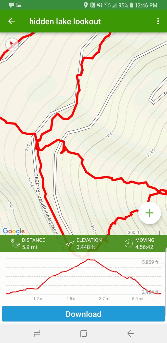
Attempted hidden lake lookout/ peak on Saturday. As I always do my reports I will start with the road.
Road: cascade river road is paved until the turn off for hidden lake lookout, no problems. Road to hidden lake lookout has a few cut up blow downs, that are simple enough to navigate. Snow, and ice start to cover the road about 2 miles before the winter route (please do not attempt the summer route). In a jeep compass we were able to drive to approximately 1.2 miles before the start of the winter route. With more clearence, better tires, and a 24 inch saw (blow down needs to be cut in order to pass it) you could make it to the start of the winter route.
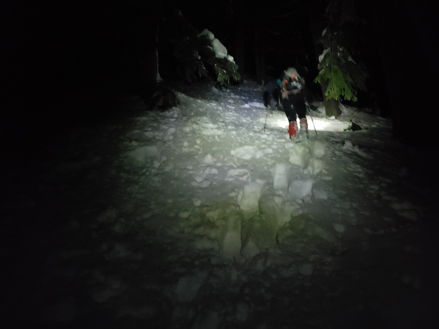
"Trail"- once you begin the winter route. Assuming you know where the ridge starts. It is fairly simple. Stay on top of the ridge, and just walk all the way up it, first mile you'll enjoy some "veggies glissading" seriously the ground was falling apart under us. The snow begins roughly around 3600 ft. Easy enough to walk up in your boots, about 4,000ft it was time to put on snowshoes, the entire route from here can be snowshoed. We had axe and crampons but, did not need them. Starting around 5,000 ft the snow gets absolutely brutal. Waist deep post holing with snowshoes on, wet, heavy snow, destroying your legs. I've broke alot of trails for longer distances than this one, and this by far was more exhausting. Around 5600' we started seeing minor signs of avy danger, slopes were holding up so we pressed on to treeline, And stopped there. The upper slopes above treeline, have enough avy danger signs that we did not consider passing tree line. I do not recommend touching them soon. We made it to treeline at first light, french pressed coffee, had breakfeast watched the alpen glow show, and descended fast before anything warmed up. We descended down to about 4kft in just over 30 minutes. Route down was simple enough.
Give it 2 or 3 days to consolidate and you should have a great time up there! And a broken trail!
The end.

Comments