
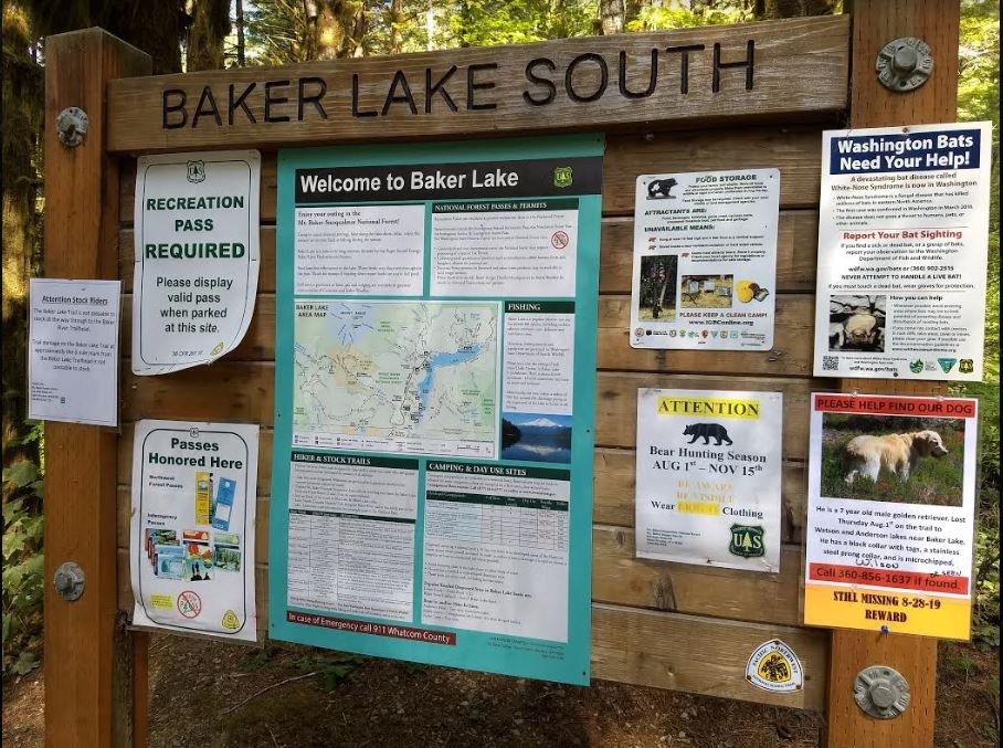
We never made it to the trail. Since we had a 2004 Corolla, the road was WAY too rough. I would NOT recommend it if you don't have a FWD, I don't care what other reviewers say! It's a 10-mile drive down a very, very rocky, bumpy, pot-holey lane. I could just feel the beating our old car was taking. In our type of car, it would have taken us a little over an hour to reach the trailhead. We turned around about 2.5 miles into the drive. There are turn-around spots every half mile or so. We decided to take a hike along the Baker Lake South Trail instead, which is just under a mile after the narrow bridge over Baker Dam. It was WORTH IT. I attached a photo of the sign by the road near this trailhead.
Also, if you are the owner of the missing dog, the signs for the missing dog are still up at Baker Lake South. I saw about two or three signs around the area. I hope you find your beloved furbaby! <3
Comments
Thanks for the update on our signs being visable in the area and the shot of the sign board at the TH. Always thought Wilson could follow Anderson creek down and be in the Anderson point cg or east bank trail area. It takes us 40/45 minutes to drive the road and I know where the potholes, rocks and washboards are. I wonder about how fast some people drive on these FS roads.
Posted by:
Paula on Sep 04, 2019 07:22 AM