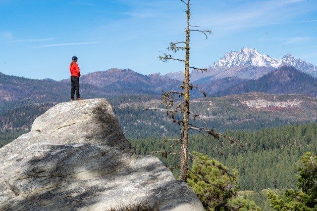
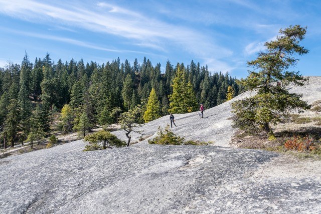
Looking for something sunny and snow free, we decided on the Teanaway Community Forest after reading George n’ Sally’s recent report. We went to Cheese Rock viewpoint and then after talking to a couple women on horseback continued on to a huge(!) sandstone slab called Bible Rock. Both Cheese Rock and Bible Rock have beautiful views toward Mt. Stuart and the Enchantments, and the Teanaway Valley.
Except for the spur trail detour to Cheese Rock Bible Rock we walked to Bible Rock on old logging roads. On the way back, we returned using a small shortcut trail (see view ranger ma link below) that followed a creekbed from the road and took us to the West Fork Teanaway campground, cutting off 1.5 miles but we had to wade the shallow river. There were no motorcycle or mountain bike tracks and except for 4 mountain bikers we saw at the very beginning and the two horseback riders we saw no one else. The roads do not look frequently used.
Altogether this made for a 6.5 mile/1200 foot gain hike, with blue skies, interesting rock formations, nice views, and solitude. 8 miles RT if you don’t feel like wading the river.
Detailed directions (also look at view ranger link for a map): Drive to the Teanaway Road off highway 97 past Cle Elum. Turn left off this road onto the West Fork of the Teanaway Road. Pass the campground on the left and in another ½ mile arrive at a DNR trailhead.
Walk on the gated road to the left, take an immediate left at the fork and cross the river on a bridge. Continue up the road, after about a mile arrive at what looks like a T intersection, take a left.
The road continues up, tops a gentle ridge and at the wide spot on top see a trail heading left. This is the 1/3 mile spur trail to Cheese Rock. Total distance to Cheese Rock 1.6 miles/3.2 roundtrip, about 300 feet gain.
From Cheese Rock we returned to the old road and continued. It’s very pretty in this section, crosses the valley, crosses a now-nearly dry creek, and passes a sandstone tower as it climbs up the other side of the valley. (note – a trail direct from Cheese Rock appears to shortcut/connect to the road).
At the ridge top, two smaller tracks go left. Take the lower of these two. In about 6 minutes of walking arrive at a vast skateboard-worthy slab of sandstone – Bible Rock. This is four miles from the trailhead. We heard there’s a cave on the downhill side of the slab but didn’t have time to explore.
On the return you can look for the shortcut: a side track just before the creek crossing, take it to the right and then an immediate left on a narrow trail. In less than a mile you’ll arrive at the river, across from the campground. Your feet will get wet crossing! It’s worth tossing in some water shoes if you want to do this (we didn’t but fortunately we had extra socks). It might be hard to spot the trail from the campground side of the river so suggest only taking it on the way back. From the campground it’s ½ mile back up the road to the car.


Comments