
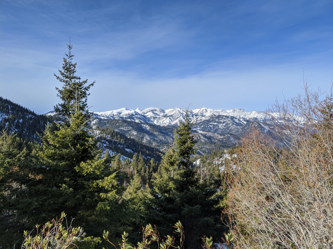
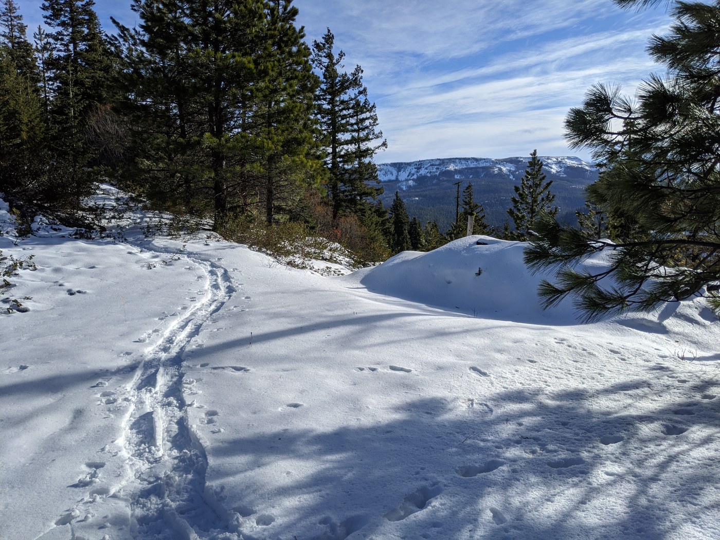
Lots of bang for little effort. We parked in the (small) North sno park area in front of the sign. The South parking lot just across Hwy-97 has many more spaces, fyi. Beautiful blue sky day (Flowx weather app nailed it again!) with a couple of inches of powder atop earlier snowshoe trail. We started in boots, then switched to microspikes then switched to snowshoes as it got a little thicker farther in. Amazing view North of the Stuart Range!
The trail follows forest road 800 along the North side of the ridge for a few miles. We took the left off-road fork which follows the South edge of the crest but then got bogged down in thicket and bushes after about another half mile trying to find the dotted-line trail shown by GAIA running West towards Old Blewett Pass. Looking at this later with Google earth shows there is no dotted-line trail -- figment of GAIA's imagination -- instead the left road fork continues Westward. We had lunch on one of the lumps and returned to the parking lot. About 5 hours in total, 9.5 miles.
We checked out Mule&Elk brewery in Cle Elum, which serves a tasty "Warrier 2.0 IPA" .
Comments