

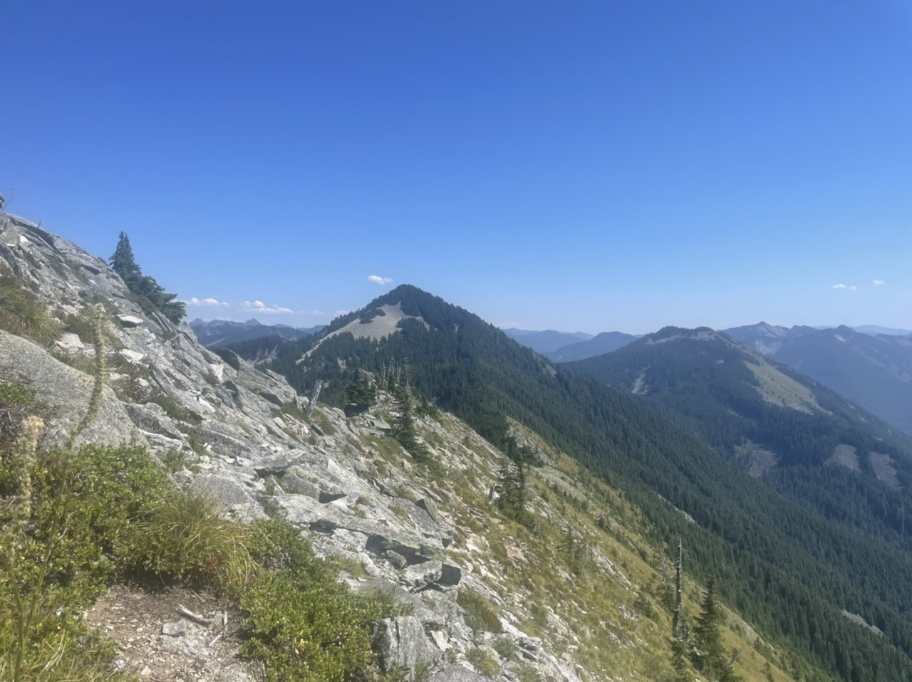
I did a big loop as a hike/trail run. Knew that there was some logging on the roads around Ira Spring but didn’t see anything in recent trip report and didn’t look at Talapus report before I left. Bit of a mistake as you will see below. Parked my car just outside the logging gate a couple miles below Talapus around noon. The gate was open and sign said the area was closed 2am-12pm M-F so I thought I was good. Ran to Ira spring and saw where some logging had been done on the road but didn’t look too active, road is much better than it was last year. Cut over to Putrid Peak trail from the connector from Ira Spring. That climb is brutal, but it was a lovely day. Cut over on the ridge (sometimes there is a trail to follow, sometimes just a choose your own adventure ridge scramble) to Defiance. Already out of water so skipped the peak and went down to Mason lake to refill. Very peaceful at the lake. One person swimming, one person fishing. Went on to Rainbow and then Island Lakes. Trails all in good condition, easy to follow, lakes very peaceful.
Came down the Pratt Lake trail and then cut over to the Talapus/Olallie trail to finish the loop. Talapus there were two people loudly playing music which was somewhat jarring as I had not seen a person since Mason Lake but Im sure with the trail condition as I was about to find out, they thought they were alone. Got to less than 0.5 from the trailhead when I found the first tree across the trail. So tired (16 miles in) thought it was a blowdown at first which I thought was odd since the trail is otherwise pristinely cared for. After an awkward scramble across my heart dropped as I came to more trees, Ironically at the Wilderness Sign. These are multiple trees that looked like they have been purposely felled across the trail with lots of side branches and brush, difficult and a little dangerous to cross. There are really just 3 groupings of these trees to cross but the middle one by the Wilderness sign is tough. I looked down into the logged area and could see equipment in the distance by what I assumed was the trailer but too much logging debris to make it (the trees are probably at least 100 ft tall and extend Farr downslope) Was going to go up and around but it was steep and loose. Was hoping that the logging did not continue to the trailhead so eventually found my way over, under and through all the mess. Slipped as brush broke under me and I fell and bruised myself at one point. Luckily no serious injury and there was just one more not as bad section of trees and then the trail was clear again. No sign at the trailhead indicating that it is closed or that the trail is damaged. It seems like the trees are purposely blocking the trail, if this is just aggression from the loggers it is sad and had me cursing then at the moment (my guess as I don’t think you can log in wilderness). If this is part of the plan to log onto the trail the Forest Service should close it until it is safe/usable. Most people will encounter this at the beginning of their hike unlike me but are still wasting their time if they choose to turn around as most will so be ware.
The trailhead is dominated by heavy logging equipment. The road down is in good condition but lots of trees on the side waiting to be taken away. The gate was closed when I got down, another car parked next to me which I guess was the guys at the lake who must have actually walked the road.
Maybe skip Talapus TH or be willing to scramble around debris or do recon for other hikers to figure out when the trail will be clear again.
Comments