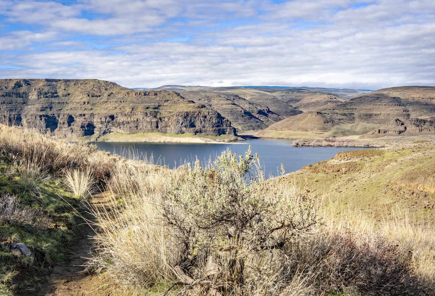
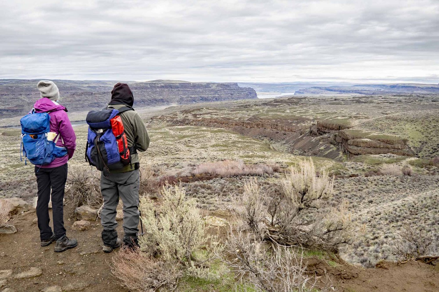
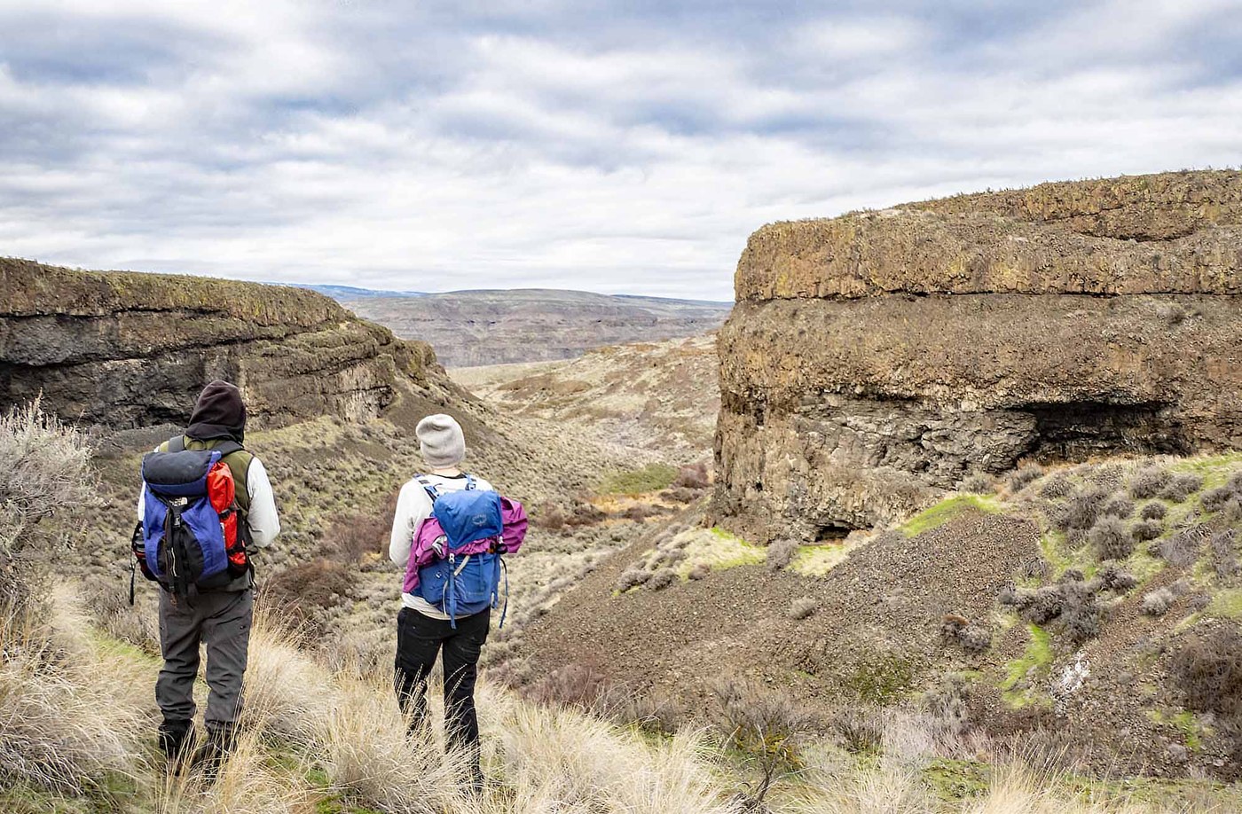
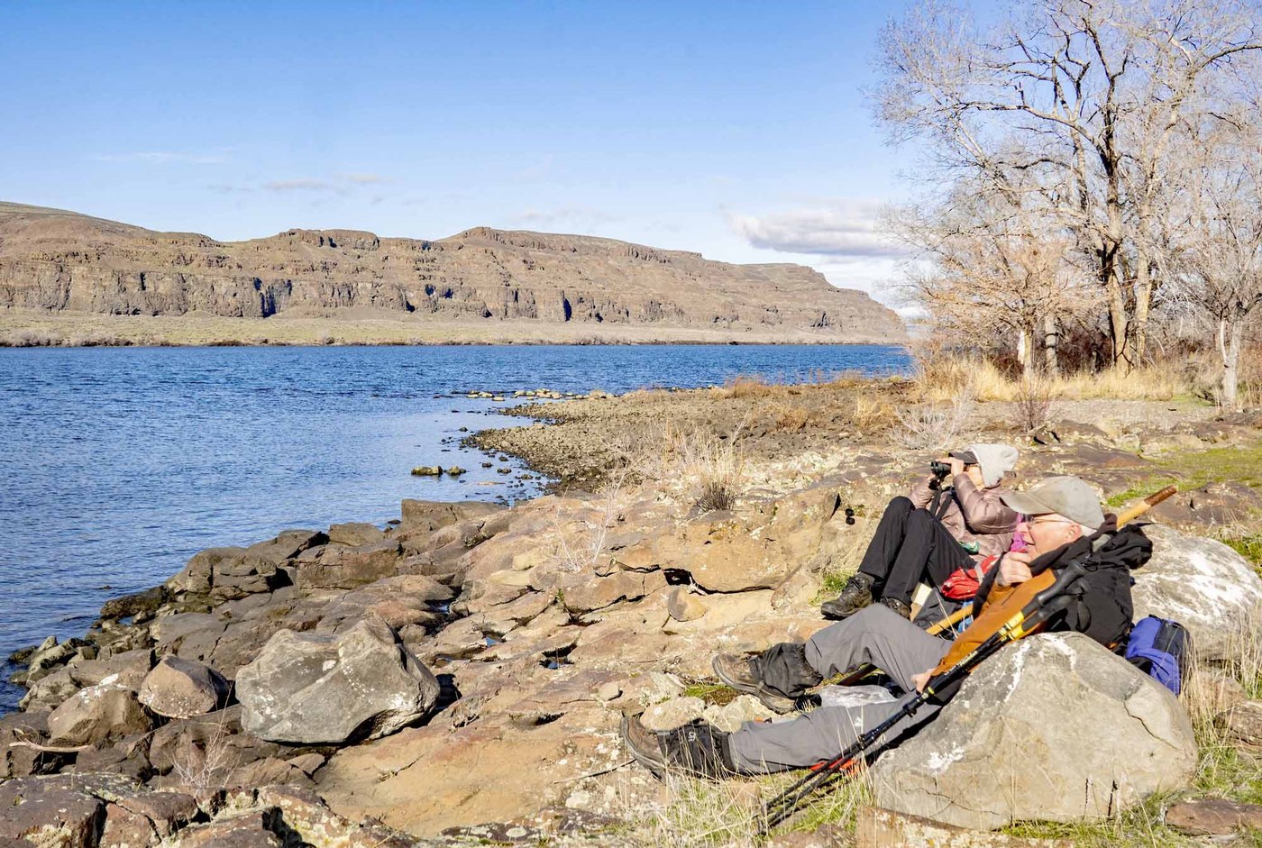
Ethan, Karen, & I drove over to Cave B/Sagecliff Resort by the Gorge Amphitheater to hike some trails I had heard about there. We went down the Cave B Connector Trail to the South Babcock Bench Trail and turned right (north) to a junction with the Waterfall Loop Trail. We turned right (east) on this trail and did the loop counterclockwise. Just above the junction of the Loop Trail and the Babcock Bench (Ancient Lakes) Trail at the head of the coulee, we took a faint trail to the left (north) because just beyond the junction the Loop Trail is overgrown with blackberries and is impassable. There is one 8' - 10' steep section where you need to use your hands to get down the the Loop Trail, but most anyone could do it. From here we walked the Loop Trail down the coulee past Fitzpatrick Waterfall to the junction with the Columbia River Trail, turned right, and followed this trail down to the river where we found a nice spot for lunch. There was an old Hudson and a washer & dryer here, the remains of a homestead flooded by Wanapum Dam. It was cloudy when we started, as forecast, but as we were going down the coulee we started to get some sun and by the time we reached the river it had cleared off and was a beautiful, sunny day, though some clouds started drifting in about 1:30. It was so pleasant we stayed our usual hour or so before heading back. When we got to the junction of the Loop Trail and the Columbia River Trail, we continued on up the Columbia River Trail to compete the loop and then up the Cave B Connector and back to the cars. We saw sign of deer & coyote, but didn't see any wildlife except for waterbirds on the river. We did, however, hear a canyon wren and saw lots of Salt-&-Pepper Lomatium (gormani or piperii) in bloom. It must be spring already! We only saw 2 other hikers.
Trip Report
Cave B Trails — Sunday, Feb. 4, 2024
 Central Washington > Potholes Region


Comments
Thanks for another clear and detailed description. However, I'm only familiar with Frenchman Coulee and the lakes north of the amphitheater (Quincy, Ancient), so I would appreciate directions to the spot where you started your Cave B ramble.
Lindy
Posted by:
Lindy99 on Feb 08, 2024 10:00 AM
Lindy - from I-90 eastbound take Silica Rd as if you were going to Frenchman Coulee, but continue straight ahead on Silica Rd until you come to the sign for Cave B &/or Sagecliff Resort & Spa and turn left into the resort. Parking is usually available in a field above the restaurant or near the tasting room at Cave B. The Sagecliff website (sagecliffresortandspa.com/local-mountain-bike-trails) has more info and a map. There is also a brochure on-line titled Cave B Inn & Spa Hiking with trail descriptions and a map. If you go, Sagecliff (the trailhead is on their property)requests that you call ahead: 590-787-8000. Hope this helps. If you go, have a good trip.
David Hagen
Posted by:
mytho-man on Feb 09, 2024 11:10 AM
Much obliged, David. It seems too early for me to be thinking about a jaunt to the George/Quincy area as well as your neck of the woods for my traditional first hikes of the season, but that's what I'm thinking. What I really want is another couple of weeks of snotty rainy/snowy/windy weather in the mountains and points east to build up the snowpack. Here's hoping.
Lindy
Posted by:
Lindy99 on Feb 10, 2024 08:03 PM