Trails for everyone, forever

Home Go Hiking Hiking Guide Clayton Beach

Clayton Beach

Puget Sound and Islands > Bellingham Area
48.6384, -122.4795 Map & Directions
  • Good for kids
  • Coast

Parking Pass/Entry Fee

Discover Pass
Saved to My Backpack

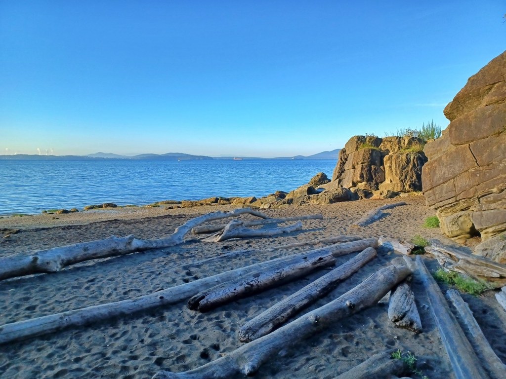
Clayton Beach is closed to public access per the Washington State Parks website, but work is under way to begin constructing a trail for safe hiker access to this area. Continue reading

Rating
3.33 out of 5

(3 votes) Log in to rate

Hiking Clayton Beach

Clayton Beach is closed to public access per the Washington State Parks website. It is unsafe to cross the train tracks to access the beach because they area active and trains do not have enough of a sight line for pedestrians in this area. See quote below.

"Previous access to the beach via unauthorized use of Burlington Northern Santa Fe property must be discontinued because of inadequate sight lines for pedestrians to see on-coming trains when crossing the rails to access the beach area. State Parks has plans for eventual construction of a rail overpass that will provide safe access to Clayton Beach, and Burlington Northern Santa Fe is in agreement with this plan."

However, in 2022, construction will begin on a hiking trail to allow for pedestrian access to this beach. Check back to see when this route is open to trail users.

WTA worked here in 2018, 2013, 2011 and 2010!

Clayton Beach

Map & Directions

Trailhead
Co-ordinates: 48.6384, -122.4795 Open in Google Maps

Before You Go

See weather forecast

Parking Pass/Entry Fee

Discover Pass

WTA Pro Tip: Save a copy of our directions before you leave! App-based driving directions aren't always accurate and data connections may be unreliable as you drive to the trailhead.

More Hike Details

Trailhead

Puget Sound and Islands > Bellingham Area

Washington State Parks

You can improve or add to this guidebook entry!

Clayton Beach

25 Trip Reports

Hiked here recently?

Submit a trip report!
 
Trip Reports