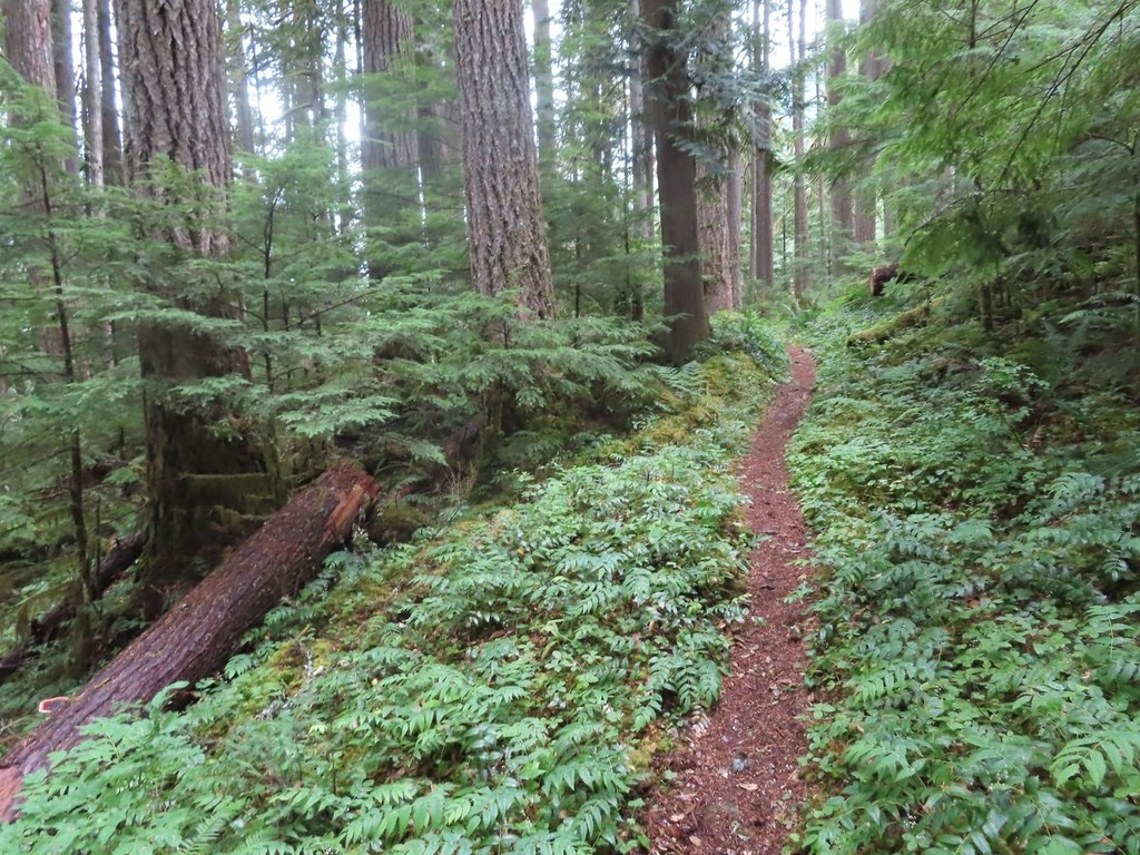
From the large trailhead, the Downey Creek trail makes a few switchbacks and gains 300 feet of elevation as a warmup, but from then on proceeds with a gentle uphill and a few ups and downs in between. After half a mile, the trail enters the Glacier Peak Wilderness.
The trail stays above Downey Creek for most of its length, but does meet the creek and follow it for a few hundred yards at several scenic places. The old growth Douglas trees in this area are impressive, but can constitute formidable obstacles when fallen and blocking the trail.
At one point opposite an avalanche chute, dense forest has re-grown where it was wiped out by an avalanche thundering down from Green Mountain — the momentum carrying the debris high up on the opposite slopes.
The trail crosses five tributaries to Downey Creek before reaching Bachelor Creek at 6.6 miles, elev. 2400 feet. The last of the five creeks (the one draining Downey Lake and Pilot Lake) may be difficult to cross in the spring because it carries a lot of water.
There are four possible camp sites along the trail before reaching the location of the former shelter at Bachelor Creek (about 6 miles in). All of these are on the west side of the trail. The quality of the campsites improves as hikers make their way away from the road. The first flat spot, 1.6 miles in is not much of a camp site, at a ridge just before the first tributary crossing. Two larger camp sites are three and three and a half miles in, but the best one is small and hidden right by the bank above the creek at four miles in.
The Downey Creek Campground shown on old maps got washed out by high water in the creek. Remnants of the campground and an outhouse can be seen on the west shore of Downey Creek. There are two walk-in tent camp sites in the old campground above the road and one messy site below the road on the west shore of the creek.
Downey Creek
-
Length
- 13.2 miles, roundtrip
-
Elevation Gain
- 1,280 feet
-
Highest Point
- 2,400 feet
12.12.25: Trailhead inaccessible due to Suiattle River Road washout at approx. milepost 4.5.
Hiking Downey Creek
Downey Creek
Map & Directions
 Trailhead


