Trails for everyone, forever

Home Go Hiking Hiking Guide Huckleberry Mountain

Huckleberry Mountain

North Cascades > Mountain Loop Highway
48.2692, -121.3494 Map & Directions
Length
14.0 miles, roundtrip
Elevation Gain
4,900 feet
Highest Point
5,900 feet
Calculated Difficulty About Calculated Difficulty
Hard

Trail is closed until further notice due to Lake Toketie fire.

Trail on Huckleberry Mountain in early light. Photo by ejain. Full-size image
  • Mountain views
  • Dogs allowed on leash
  • Ridges/passes
  • Old growth
  • Summits
  • Fall foliage

Parking Pass/Entry Fee

Northwest Forest Pass
Saved to My Backpack

The trail up Huckleberry Mountain is a grind, but as with so many other hikes to high places on the Suiattle River Road, your efforts will be rewarded with spectacular views. Continue reading

Rating
2.70 out of 5

(10 votes) Log in to rate

Hiking Huckleberry Mountain

The trail up Huckleberry Mountain is a grind, but as with so many other hikes to high places on the Suiattle River Road, your efforts will be rewarded with spectacular views.

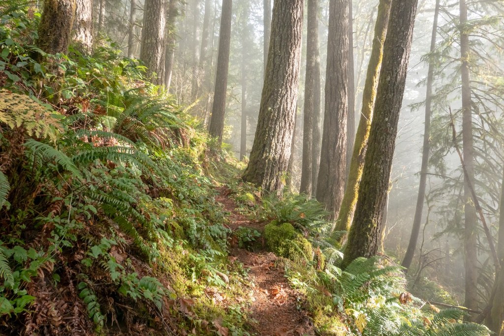
From the trailhead, the climb starts right off, heading steeply up the mountain, switchbacking steadily. Trailside distractions include small cascading waterfalls and lush greenery. 

Four miles into your hike, pass a campsite with a  nearby stream.

The trail passes through thick timber signature of the area, so you won't get a lot of views along the way. But once you reach the top, the vistas are spectacular. On a clear day, you'll spot Glacier Peak, Mount Baker, Three Fingers, Mount Pugh, and Whitehorse, among many others. 

Hike Description Written by
Multiple authors contributed to this report, WTA Community

Huckleberry Mountain

Map & Directions

Trailhead
Co-ordinates: 48.2692, -121.3494 Open in Google Maps

Before You Go

Trail is closed until further notice due to Lake Toketie fire.

See weather forecast

Parking Pass/Entry Fee

Northwest Forest Pass

WTA Pro Tip: Save a copy of our directions before you leave! App-based driving directions aren't always accurate and data connections may be unreliable as you drive to the trailhead.

Getting There

From Darrington, drive north on the Mountain Loop Highway (Highway 530) toward Rockport. Turn right onto the Suiattle River Road 26. From the gate, hike or bike another two miles to the trailhead on the north.

More Hike Details

Trailhead

North Cascades > Mountain Loop Highway

Huckleberry Mountain (#780)

Mt. Baker-Snoqualmie National Forest, Darrington Ranger District

Guidebooks & Maps

Day Hiking: North Cascades (Romano - Mountaineers Books)

Buy the Green Trails Snowking Mtn No. 79 map

You can improve or add to this guidebook entry!

Huckleberry Mountain

72 Trip Reports

Hiked here recently?

Submit a trip report!
 
Trip Reports