Trails for everyone, forever

Home Go Hiking Hiking Guide Willapa National Wildlife Refuge - Leadbetter Point

Willapa National Wildlife Refuge - Leadbetter Point

Southwest Washington > Long Beach Area
46.5970, -124.0521 Map & Directions
Length
10.6 miles, roundtrip
Elevation Gain
50 feet
Highest Point
35 feet
Calculated Difficulty About Calculated Difficulty
Moderate
Leadbetter Point State Park. Photo copyright Craig Romano. Full-size image
  • Dogs not allowed
  • Good for kids
  • Coast

Parking Pass/Entry Fee

Discover Pass
Saved to My Backpack

Enjoy a flat, sandy stroll to the mouth of Willapa Bay on the Long Beach Peninsula. Continue reading

Rating
3.25 out of 5

(8 votes) Log in to rate

Hiking Willapa National Wildlife Refuge - Leadbetter Point

Enjoy a flat, sandy stroll to the mouth of Willapa Bay on the Long Beach Peninsula.

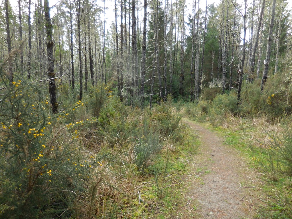
Leadbetter Point lies at the northern tip of the Long Beach Peninsula. The peaceful and often deserted trails run along the Willapa Bay shoreline for more than 10 miles, passing through maritime forests, mudflats and grassy sand dunes.

Work your way through lowland shrubs and forest and head west on the Weather Beach to the coast. Once there, hike out between a lane created by white posts to the water. These posts keep hikers off of important nesting habitat, so please stay between them as you head north along the coast.

Pay attention to wildlife. Black-tailed deer and raccoons are prevalent, but the main attraction is bird watching. Long Beach Peninsula is right in the path of the Pacific Flyway, the main thoroughfare for migrating waterfowl. More than 200 different avian species are often spotted in the area.

Leadbetter Point is constantly changing as the sand dunes shift or erode away. Sometimes you can continue beyond Leadbetter Point, and sometimes the trails are completely flooded. Go as far as the trail will let you, turn around, and just enjoy the peace and quiet of wintertime Long Beach.

WTA worked here in 2015, 2014 and 2013!

Hike Description Written by
Brittany Manwill, WTA Correspondent

Willapa National Wildlife Refuge - Leadbetter Point

Map & Directions

Trailhead
Co-ordinates: 46.5970, -124.0521 Open in Google Maps

Before You Go

See weather forecast

Parking Pass/Entry Fee

Discover Pass

WTA Pro Tip: Save a copy of our directions before you leave! App-based driving directions aren't always accurate and data connections may be unreliable as you drive to the trailhead.

Getting There

From Kelso, go 60 miles on State Route 4 west to US 101. For 15 miles, head south on US 101 and turn right onto Sandridge Road (just before entering Long Beach). You will come to a junction with SR 103 in 11.5 miles. Continue north on SR 103 for 7.3 miles to enter Leadbetter State park. The road end and trailhead will be another 1.5 miles after the Park entrance.

More Hike Details

Trailhead

Southwest Washington > Long Beach Area

Washington State Parks

Guidebooks & Maps

Day Hiking: Olympic Peninsula (Romano - Mountaineers Books)

You can improve or add to this guidebook entry!

Willapa National Wildlife Refuge - Leadbetter Point

14 Trip Reports

Hiked here recently?

Submit a trip report!
 
Trip Reports