Trails for everyone, forever

Home Go Hiking Hiking Guide West Tiger 2

West Tiger 2

Issaquah Alps > Tiger Mountain
47.5305, -121.9791 Map & Directions
Length
7.8 miles, roundtrip
Elevation Gain
2,300 feet
Highest Point
2,757 feet
Calculated Difficulty About Calculated Difficulty
Moderate/Hard
  • Mountain views
  • Summits

Parking Pass/Entry Fee

Discover Pass
Saved to My Backpack

This is a great close to Seattle option of creating lots of loops and getting your exercise. Continue reading

Rating
2.25 out of 5

(4 votes) Log in to rate

Hiking West Tiger 2

West Tiger 2 is a peak located in Tiger Mountain State Forest. This destination can be reached through a variety of trail connections allowing you to build your own hike. You can create several different loops incorporating one or more of the peaks Tigers1, 2 and 3. This is trail will get your heart rate up as you climb through the trees to the peek-a-boo views at the top.

One popular option is to start at the High Point Trailhead. Follow signs for West Tiger Mountain. Head toward West Tiger #3. You’ll start on a wide, flat, gravel trail for the first third of a mile, then begin gaining elevation at a steady pace.
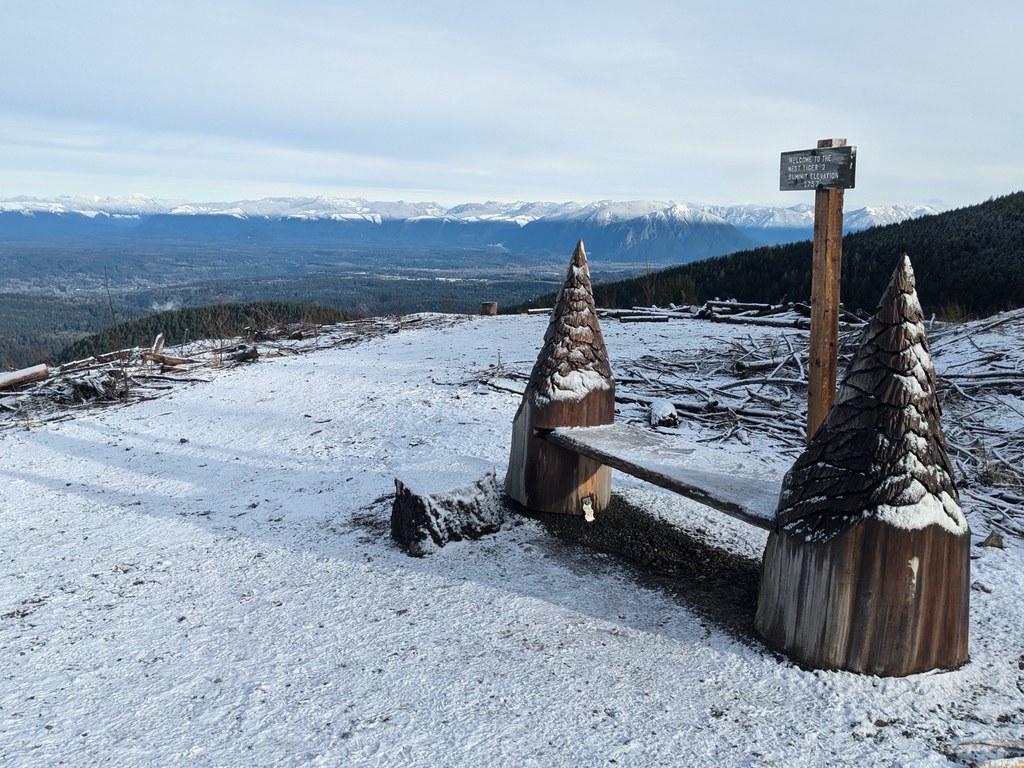
 Once you get to the top of Tiger 3 keep going forward and up on to Tiger 2. You can either start down to close your loop. Or if you still have energy take the steep gravel road over to Tiger 1 for what some say is the best view from West Tiger.

West Tiger 2

Map & Directions

Trailhead
Co-ordinates: 47.5305, -121.9791 Open in Google Maps

Before You Go

See weather forecast

Parking Pass/Entry Fee

Discover Pass

WTA Pro Tip: Save a copy of our directions before you leave! App-based driving directions aren't always accurate and data connections may be unreliable as you drive to the trailhead.

Getting There

driving directions

From Seattle I-90 take exit 20 east. Turn right off the interstate and an immediate left. If the gate is closed choose a place to park off the side of the road paralleling the interstate.

Take transit

Take the bus to the trailhead! Plan your trip by bus using TOTAGO.

More Hike Details

Trailhead

Issaquah Alps > Tiger Mountain

Washington State Department of Natural Resources

Guidebooks & Maps

National Geographic Issaquah Alps Mount Si 824 http://www.switchbacks.com/maps/PDFs/Tiger_Mountain.pdf

You can improve or add to this guidebook entry!

West Tiger 2

312 Trip Reports

Hiked here recently?

Submit a trip report!
 
Trip Reports