Our group of 7 scrambled Mount Baring yesterday, June 11, 2017. The forest road was pretty decent with few potholes compared with other ones in other regions. The boot path started behind the outhouse,not the main trail, which leads to Barclay lake. Walked along an old road covered by bushes from both sides, soon we found the starting point of the bootpath to the ridge, which was marked by ribbons and could be missed easily. The path to the ridge was steep and dirty, very much similar to the bootpath up to Hibox mountain. There was a little exposed section and used to have a handline to help. Unfortunately, the handline is gone now. But should be fine if you climb up on the other side of the big tree.
There were couple snow patches close to the ridge line, but the ridge was snow free and relatively flat. Then we started to climb up and traverse to bypass cliff bands when we were close to the south peak. Actually the path was either missing or covered by snow.
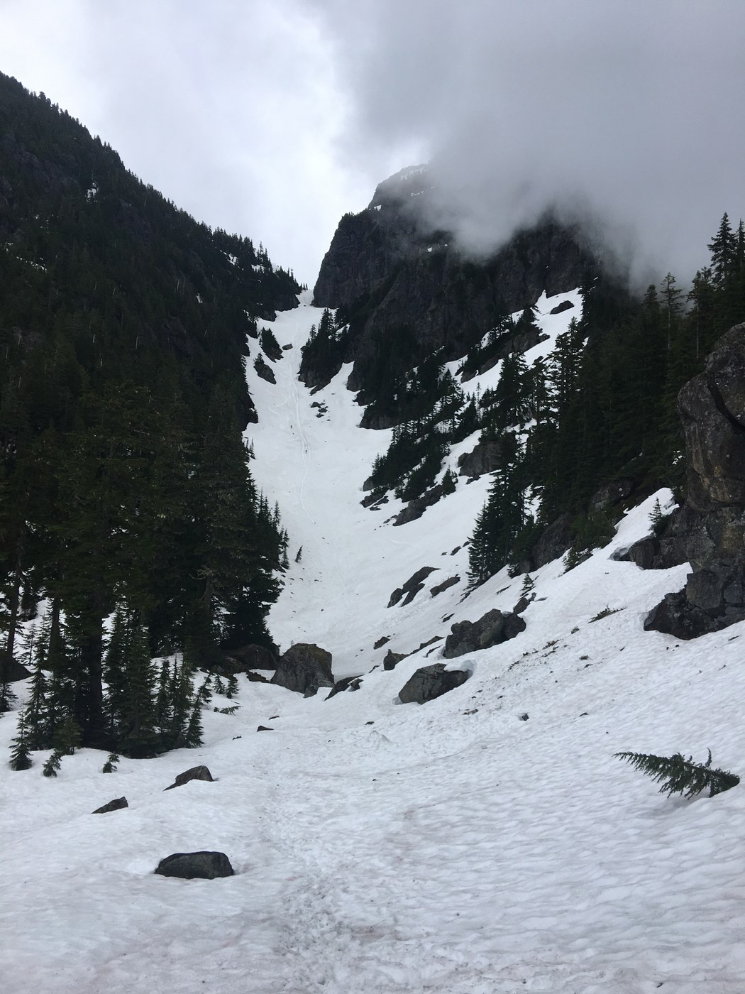
We met Rob and his parter from SOA along the way and he helped a lot for routefinding and kicking steps. Basically, we started to drop down and traverse to the basin below the saddle of the north and south peak. Once we reached the basin, it was covered by snow and the gully looked impressive. We climbed up the gully, which became steeper when we got closer to the saddle, but not something that you cannot handle.
The real challenge was to climb up the steep snow slope at the very beginning of the path to the north summit. But the slope was not as bad as shown in YouTube videos. My group made fine to climb up. A good place to practice ice axe stagger position. After that, we traversed on the left side of the summit and the then an easy scrambling to the summit. Sun came out when we arrived at the peak and the view was gorgeous. But the cloud came in when started to descend.
Coming down the mountain was even more challenging because of the steep slopes and steep dirt path. We enjoyed the glissading on the lower section of the gully. For the exposed section, Rob set up a handline using his webbing when I arrived. I carried rope, but didn't get a chance to use it. We all used his handline to climb down. Thanks again, Rob.
The descent on the ridge path was tough on the first section because the path was faint and not too many handholds, but became better on the rest sections. Definitely Trekking poles were helpful a lot.
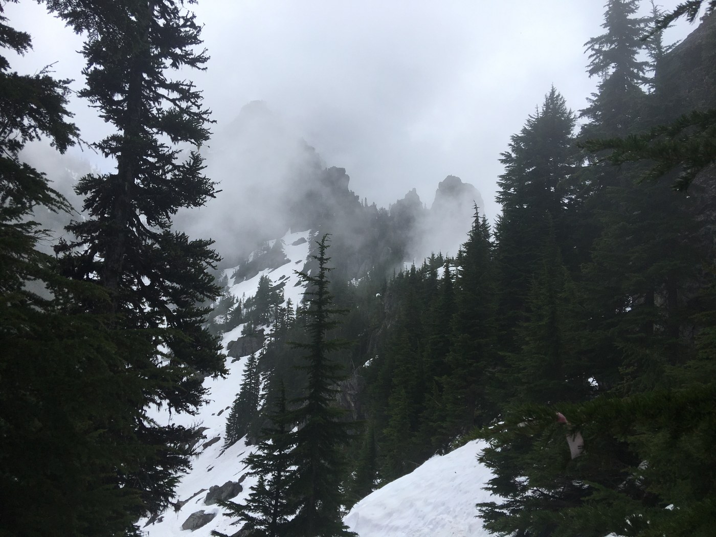
Round trip about 7 miles with 4000ft gain, this is not an easy scramble, but the special view of two peaks and a steep gully is spectacular. But please have very good ice axe skills when it was covered by snow.


Comments