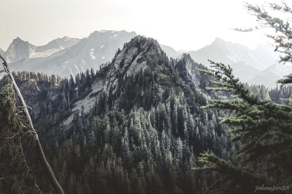

Anthracite Peak is the unofficial name for the peak reachable from Coal Lake Road in the Mt. Baker-Snoqualmie National Forest.
Anthracite Peak

-
 Highest Point
- 5,006 feet
Anthracite Peak is the unofficial name for the peak reachable from Coal Lake Road in the Mt. Baker-Snoqualmie National Forest.
Continue reading
Hiking Anthracite Peak
Anthracite Peak
Map & Directions
 Trailhead
Before You Go
WTA Pro Tip: Save a copy of our directions before you leave! App-based driving directions aren't always accurate and data connections may be unreliable as you drive to the trailhead.


