

The Emerald Necklace trail encircles the upper portions of Antoine Peak. Trail users who come to experience the Emerald Necklace often utilize the Brevier Road access into the West Trailhead of Antoine Peak.
Those wishing for more of a challenge, or at least more elevation gain, should access the trail from the Trentwood Trailhead on the south side of Antoine Peak near Wellesley Rd, since the west trailhead is 620 feet higher in elevation than the Trentwood Trailhead. You'll get more of a workout starting from Trentwood.
While traversing the Emerald Necklace loop, the views around the north side of Antoine Peak towards Mount Spokane are some of the best to enjoy.
It is important for route finding to know that the Emerald Necklace is completely composed of old logging roads and does not incorporate any singletrack trail.
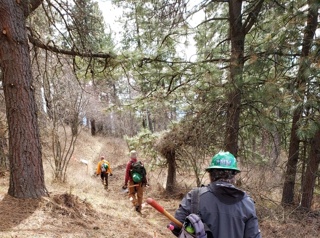
The trail junctions are well marked with wooden posts and reflective trail name signs to assist with route finding.
The Emerald necklace does gain and lose elevation while going completely around Antoine Peak.
For those interested in Geocaching the south portion of the Emerald Necklace loop has numerous caches.
The Emerald necklace is popular with trail runners and offers multiple complementary loops and on/off connections to accommodate athletes seeking various mileage totals for the day.
History
Antoine Peak is named after Antoine Plante, an early frontiersman who operated the only ferry across the Spokane River in the area.

 Trailhead


