
If you can stand the bugs, this is a very pleasant, well-shaded hike with a very rewarding view at the top. It's a short hike, doable in a day for most hikers.
Start at the Mosquito Meadows trailhead, where you begin hiking on the Mosquito Meadows Trail 292. A mile-long gentle climb brings you to the Boundary Trail, where you can turn left towards Badger Lake, and then hike for two miles along a tree-covered ridge that affords occasional glimpses of Mount Hood and the surrounding forests.
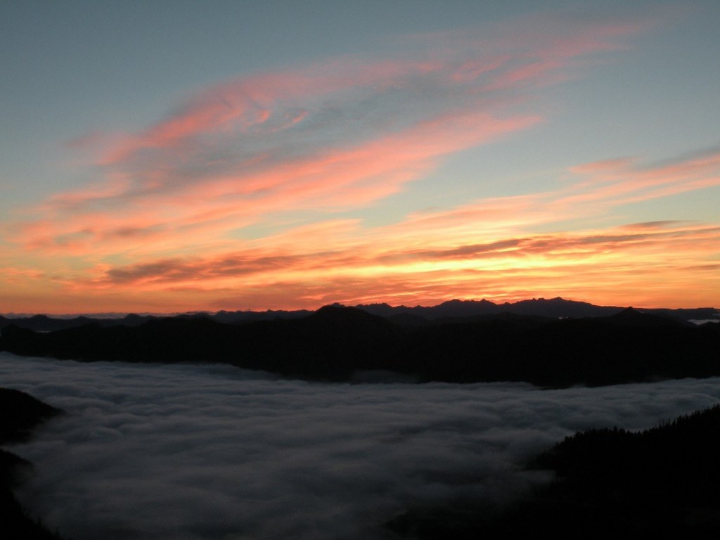
Right before you reach Badger Lake, come to another junction. Here you turn off the Boundary Trail onto the Badger Ridge Trail 257. Continuing on the Boundary Trail 1 will lead you past Badger Lake, a junction with Synder Pasture 80A, Shark Rock, Craggy Peak and beyond. Staying on Trail 257, Follow it up a steep slope for one quarter-mile and take the 257A fork right. Yes, you have to keep climbing, but you're nearly there! Follow the steep trail for another half-mile to the summit of Badger Peak. From the bald summit, you'll revel in breathtaking views of Mounts Hood, Adams, Rainier, and St. Helens, and you can see the sharp fin of Shark Rock as well as the rocks of nearby Craggy Peak.
Badger Peak

-
 Length
- 7.5 miles, roundtrip
-
 Elevation Gain
- 1,700 feet
-
 Highest Point
- 5,664 feet
If you can stand the bugs, this is a very pleasant, well-shaded hike with a very rewarding view at the top. It's a short hike, doable in a day for most hikers.
Continue reading
Hiking Badger Peak
Map & Directions
 Trailhead
Before You Go
Parking Pass/Entry Fee
Northwest Forest PassWTA Pro Tip: Save a copy of our directions before you leave! App-based driving directions aren't always accurate and data connections may be unreliable as you drive to the trailhead.
Getting There
From I-5 north, take exit 21 to Cougar. Drive through Cougar along the north side of Swift Reservoir. At the end of the reservoir, continue straight onto Road 25. Be sure that you DON'T take Road 90. Stay on FR-25 for 17.1 miles until you see the sign for Mosquito Meadows turnoff. Take a sharp right onto a gravel road (FR 28) and drive 2.3 miles. The Mosquito Meadows trailhead is on the right side of the road.
A couple parking spots are available on the side of the road but if you're looking for a campsite, continue 1.2 miles down FR 28. A great campsite with tent spaces, parking, water, even a fire pit is located off to the right.
Note that Day Hiking: South Cascades says to continue past this trailhead and follow FR 2816 to a different trailhead for a shorter version of this hike but the road has been reported as being impassable.


