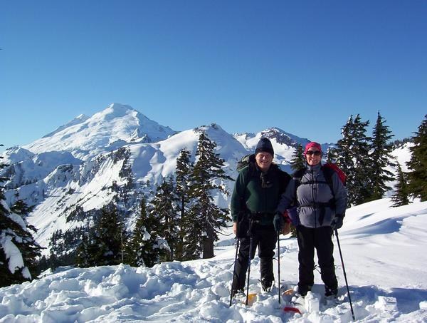

In winter, the Bagley Lakes Loop and Chain Lakes trail creates an intermediate snowshoeing opportunity near the schussing skiers in the Mount Baker Ski Area.
Beginning right behind the vault toilet in the large Bagley Lakes parking lot, follow the Bagley Lakes trail, which heads right. Soon, you'll come to a sweet little stone bridge, which crosses a stream and leads you down the west side of the first Bagley Lake.
Depending on the amount of snow present, you may be able to follow the summer Bagley Lakes trail, but be aware of avalanche danger, and be sure to have a map with you. In some places, the trail narrows. Be careful here, and consider bringing a trekking pole to help maintain your balance.
Along the way, you'll enjoy a waterfall, which flows over some cool rock columns. There's no bridge here, so step carefully; you could step through the snow into the stream if you're not careful. Use those hiking sticks to safely find solid ground.
Bagley Lakes Snowshoe

-
 Length
- 5.5 miles, roundtrip
-
 Elevation Gain
- 1,152 feet
In winter, the Bagley Lakes Loop and Chain Lakes trail creates an intermediate snowshoeing opportunity near the schussing skiers in the Mount Baker Ski Area.
Continue reading
Hiking Bagley Lakes Snowshoe
Bagley Lakes Snowshoe
Map & Directions
 Trailhead
Before You Go
Parking Pass/Entry Fee
NoneWTA Pro Tip: Save a copy of our directions before you leave! App-based driving directions aren't always accurate and data connections may be unreliable as you drive to the trailhead.


