
The Basalt Ridge Trail is 8.5 miles long, and is used primarily by hikers, mountain bikers, and stock users. It begins at the Basalt Ridge Trailhead on Chiwawa River Road 6200, summits Basalt Peak and ends at the Garland Peak Trail.
The Basalt Ridge Trail leaves Finner Creek Campground and meanders a mile or so through the forest before kicking into high gear and beginning to steepen over the next few miles. After the first 3 miles from the trailhead, it follows a scenic ridgeline. Water is scarce on this route, so carry all you need.
 Trailhead
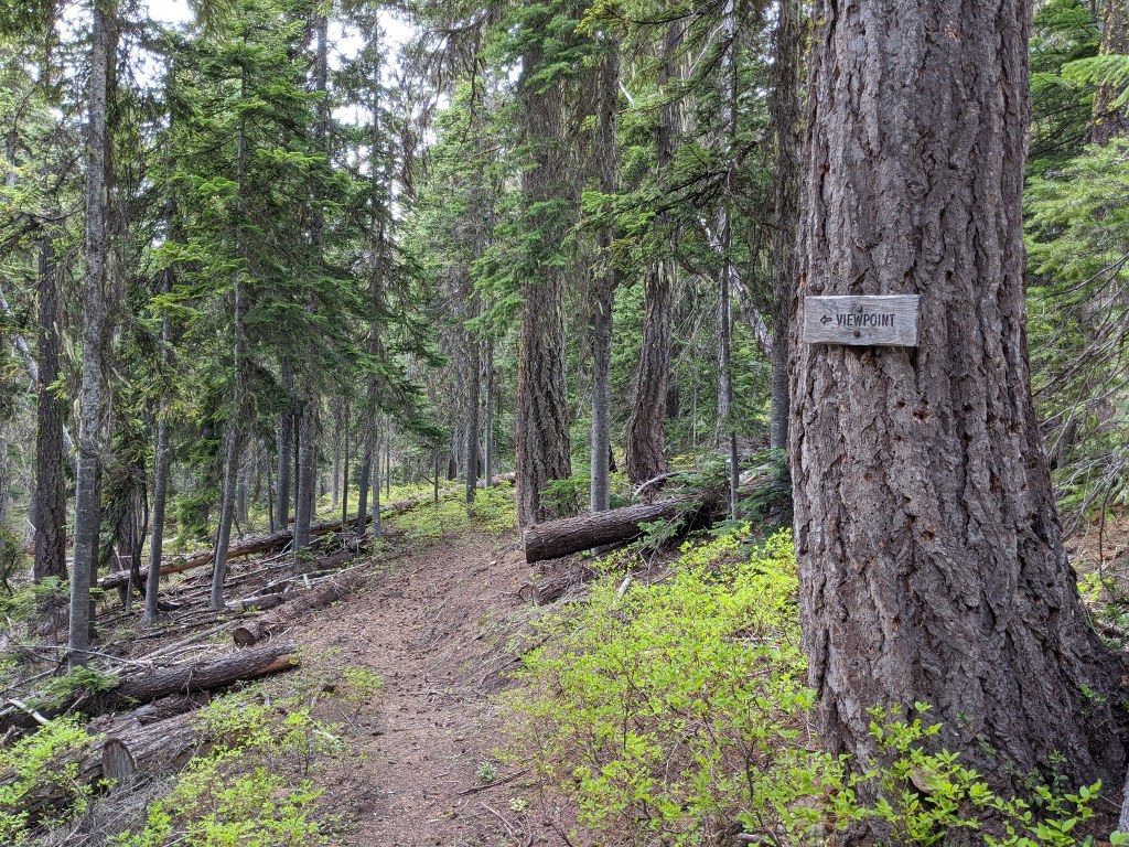