Trails for everyone, forever

Home Go Hiking Hiking Guide Battle Point Park Trail
link

Battle Point Park Trail

Puget Sound and Islands > Seattle-Tacoma Area
47.6631, -122.5748 Map & Directions
Length
3.5 miles of trails
Fairy Dell Trail. Photo Nathan Oestreich. by Full-size image
  • Dogs allowed on leash
  • Good for kids

Parking Pass/Entry Fee

None

There are over three miles of trails in this community park. Visitors can stop by for a quick dose of nature or do the full loop for a longer walk. Continue reading

Rating
3.50 out of 5

(2 votes) Log in to rate

Hiking Battle Point Park Trail

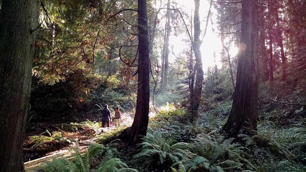
This Bainbridge Island park is a multipurpose space. There are several sports fields, a playground, and even an astronomical observatory located here. Weaving around all of these features is a walking trail.

An inner loop (2.0 miles) is for pedestrians and an outer loop (1.5 miles) is for equestrian use. The inner loop also offers a short side trip via a trail that winds around a small pond and connects back with the main trail.

This park is a great place to hang out in, but it can also become part of a longer journey thanks to a couple connections with other trails. Along the northern perimeter you will find the start of the Fairy Dell Trail, which follows a ravine to a tidal inlet; and in the southeast corner the Forest to Sky Trail, which connects to Grand Forest West.

Hike Description Written by
Charlie Wakenshaw, WTA Staff

Battle Point Park Trail

Map & Directions

Trailhead
Co-ordinates: 47.6631, -122.5748 Open in Google Maps

Before You Go

See weather forecast

Parking Pass/Entry Fee

None

WTA Pro Tip: Save a copy of our directions before you leave! App-based driving directions aren't always accurate and data connections may be unreliable as you drive to the trailhead.

Getting There

From the Bainbridge ferry dock, drive north on WA-305 for 3 miles. Turn left onto NE Koura Road for 1.4 miles, then turn left onto Miller Road for 0.2 mile. Turn right onto Arrow Point Drive for 0.9 mile, and the park entrance will be on your left.

Take Transit:

Route 95 stops at the intersection of Battlepoint Drive and Frey Ave., which is at the NW entrance to the park.

Route 106 stops at the intersection of Tolo Rd. and Battlepoint Dr., which is 0.5 mile from the western park entrance.

More Hike Details

Trailhead

Puget Sound and Islands > Seattle-Tacoma Area

Bainbridge Island Metro Park and Recreation District

You can improve or add to this guidebook entry

Battle Point Park Trail

1 Trip Report

Hiked here recently?

Submit a trip report!
 
Trip Reports