Trails for everyone, forever

Home Go Hiking Hiking Guide Bay to Baker Trail

Bay to Baker Trail

Puget Sound and Islands > Bellingham Area
48.7669, -122.5163 Map & Directions
Length
8.5 miles of trails
Highest Point
100 feet
Sunset from the trail. Photo by wafflesnfalafel. Full-size image
  • Wildflowers/Meadows
  • Mountain views
  • Dogs allowed on leash
  • Waterfalls
  • Good for kids
  • Rivers

Parking Pass/Entry Fee

None

After a long day at the office, the Bay to Baker Trail offers a convenient dose of nature right in the heart of Bellingham. Continue reading

Rating
3.00 out of 5

(3 votes) Log in to rate

Hiking Bay to Baker Trail

After a long day at the office, the Bay to Baker Trail offers a convenient dose of nature right in the heart of Bellingham.

Although still in its infancy, this rails-to-trails conversion will eventually extend 74 miles from Bellingham Bay to the Mount Baker Ski Area. Currently, two segments of the trail are open, one in Bellingham and the other between Maple Falls Park and the town of Glacier. 
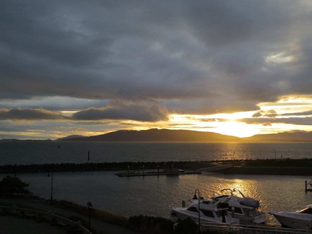

In Bellingham

Starting from Little Squalicum Park in Bellingham, the route follows an abandoned railroad right-of-way and connects a string of city parks. Leaving the park, the trail turns east and descends to Squalicum Creek Park, a worthy detour, where much work is being done to restore and enhance fish and wildlife habitat. Continue onward, curving northeast and ultimately ending at the overpass on Northwest Avenue. If you have time for a bit more walking, you can follow Squalicum Way to Cornwall Park, less than a mile away, before retracing your steps to Squalicum Beach.

In Maple Falls

Just off of Highway 542, this segment of the trail starts at Maple Falls Park. As it heads east it gets closer to the highway which it parallels to its end in the town of Glacier. 

Hike Description Written by
Lindsay Leffelman, WTA Correspondent

Bay to Baker Trail

Map & Directions

Trailhead
Co-ordinates: 48.7669, -122.5163 Open in Google Maps

Before You Go

See weather forecast

Parking Pass/Entry Fee

None

WTA Pro Tip: Save a copy of our directions before you leave! App-based driving directions aren't always accurate and data connections may be unreliable as you drive to the trailhead.

Getting There

For Bellingham Segment

From I-5, take exit 258 onto Airport Dr. If traveling from the south, turn left on W Bakerview RD. If traveling from the north, turn right onto W Bakerview RD. Turn left on Bennett Dr and make a slight left onto Marine Dr in just over a mile. Find the trailhead at Little Squalicum Park.

For Maple Falls Park

From Bellingham, follow SR 542 for 26 miles to Maple Falls. Turn left at the Shell station onto the Silver Lake Road and drive about 200 yards to Second Street. Turn left and go 100 yards to find parking for Maple Falls Community Park in a field on your right. Walk back on Second Street to the Silver Lake Road and find the Maple Creek Loop Trailhead on the north end of the parking lot of the Silver Lake Community Church.

Take Transit

This trailhead is accessible by bus! Plan your visit by bus using TOTAGO, or consult the schedule for Whatcom Transportation Authority route number 3.

Route number 3 stops at Eldridge Avenue at Gilligan Way, which is right across from the trailhead at Little Squalicum Park. 

More Hike Details

Trailhead

Puget Sound and Islands > Bellingham Area

Whatcom County Parks

Guidebooks & Maps

Day Hiking: North Cascades (Romano - Mountaineers Books)

http://www.mountbakerclub.org/Bay2BakerMap.htm

https://cob.org/services/recreation/parks-trails/trail-guide

You can improve or add to this guidebook entry

Bay to Baker Trail

10 Trip Reports

Hiked here recently?

Submit a trip report!
 
Trip Reports