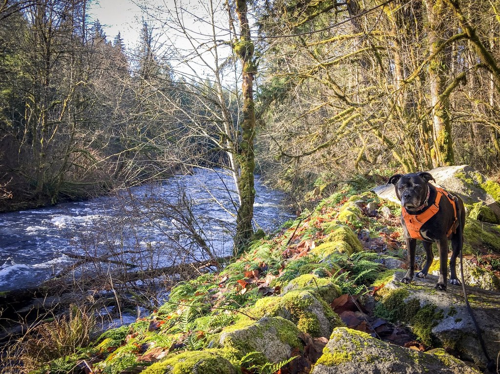

Southeast of the Seattle Metro area, in scenic Maple Valley are the Big Bend and Landsburg Reach Natural Areas. These two greenspaces are located along the Cedar River. People walking, biking, or riding their horses along the Cedar River Trail pass through these two areas which are near the end of the long Cedar River Trail.
At 96 acres, Big Bend is the largest, Landsburg Reach Natural Area clocking in at only 24 acres. With greenery on both side of the river here, you can enjoy a quiet respite here with a scenic view across the way. Look for the Walsh Lake Ditch, cutting through Big Bend, as well as wetlands, bluffs, and a mixed forest of vivid deciduous trees as well as evergreens.
Access this area by parking at the Cedar River Trailhead, at Landsburg Road SE. It is only a mile from the trailhead to Big Bend Natural Area, and just a short distance further on to Landsburg. From Landsburg, it is possible to take a trail to the nearby Danville/Georgetown trails where WTA has worked, as well as the Cedar River Pipeline Road.
Big Bend/Landsburg Reach Natural Area

-
 Length
- 2.0 miles, roundtrip
Southeast of the Seattle Metro area, in scenic Maple Valley are the Big Bend and Landsburg Reach Natural Areas. These two greenspaces are located along the Cedar River. People walking, biking, or riding their horses along the Cedar River Trail pass through these two areas which are near the end of the long Cedar River Trail.
Continue reading
Hiking Big Bend/Landsburg Reach Natural Area
Map & Directions
 Trailhead
Before You Go
Parking Pass/Entry Fee
NoneWTA Pro Tip: Save a copy of our directions before you leave! App-based driving directions aren't always accurate and data connections may be unreliable as you drive to the trailhead.
Getting There
From the heart of Maple Valley, head south on SE 268th Pl toward 225th Pl SE
Turn right onto 226th Pl SE, then turn left onto SE 270th Place. Turn right onto 228th Ave SE, and get on SE Summit Landsburg Road to Landsburg Road SE in Hobart, about 4 miles. Turn left onto SE 272nd Street, then continue onto SE Kent Kangley Road for less than one mile.
Turn left onto SE Summit Landsburg Rd and proceed 2.5 miles, and finally, turn left onto Landsburg Rd SE, parking at the beginning of the east end of the Cedar River Trail.


