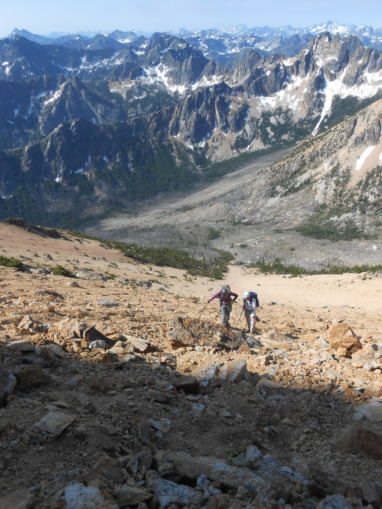

A mountain in the North Cascades. Climbing gear and route-finding expertise required to summit.
Big Snagtooth

-
 Elevation Gain
- 4,000 feet
-
 Highest Point
- 8,330 feet
Highway 20 is closed between the Ross Dam trailhead (milepost 134) and Silver Star gate (milepost 171) for the winter season.
A mountain in the North Cascades. Climbing gear and route-finding expertise required to summit.
Continue reading
Parking Pass/Entry Fee
NoneHiking Big Snagtooth
Big Snagtooth
Map & Directions
 Trailhead
Before You Go
Highway 20 is closed between the Ross Dam trailhead (milepost 134) and Silver Star gate (milepost 171) for the winter season.
Parking Pass/Entry Fee
NoneWTA Pro Tip: Save a copy of our directions before you leave! App-based driving directions aren't always accurate and data connections may be unreliable as you drive to the trailhead.


