
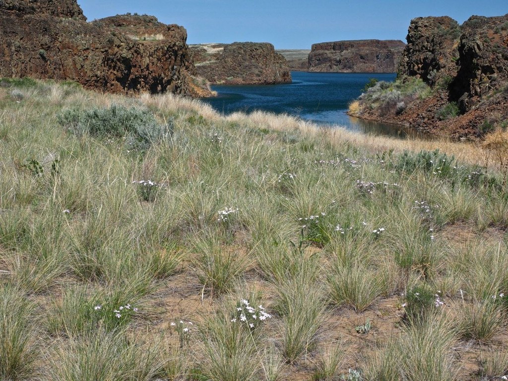

Lose yourself in the land around Billy Clapp Lake. Walk lakeside, or head into the grasslands around it, and look for wildlife.
The trail starts from behind the public restroom at the parking area near Pinto Dam. The first 30-foot climb is one of the steepest sections of the hike. Topping the small bluff reveals expansive views of Billy Clapp Lake Reservoir and its surrounding basalt cliffs before the trail gently descends through narrow canyons.
The lake is fed by waters diverted from the Columbia River. The large man-made body of water is a magnet to desert wildlife including mule deer and coyotes as well as migratory birds.
For the hiker, the first mile provides easy access to many sandy beaches and alcoves that beckon for lounging. The largest sandy beach is reached in a mile on a well tramped trail, from the broad beach the trail climbs to a notch in the bluff. Part of the bluff is a series of social trails meandering up and down above the lakeshore. Keep the lake to your right while in-bound and on your left while returning.
The sage steppe is generally easy walking through short prairie grasses but long pants or ankle gaiters are recommended. Water may be available here in spring but it is recommended to bring your own water as the lake has irrigation run-off.
 Trailhead


