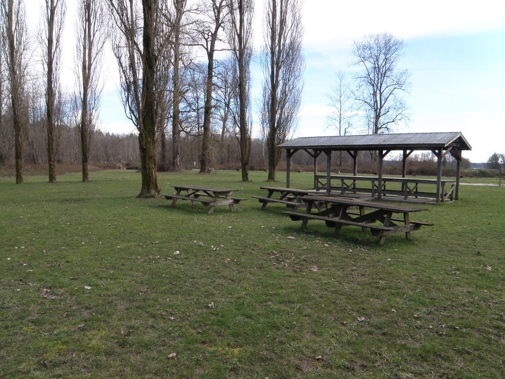

Blue Stilly Park is located in Snohomish County along the Stillaguamish River. The small park has a baseball diamond, picnic areas, a fire pit and a nature trail.
Blue Stilly

-
 Length
- 3.0 miles of trails
-
 Elevation Gain
- 0 feet
-
 Highest Point
- 30 feet
Parking Pass/Entry Fee
Discover Pass
Blue Stilly Park is located in Snohomish County along the Stillaguamish River. The small park has a baseball diamond, picnic areas, a fire pit and a nature trail.
Continue reading
Hiking Blue Stilly
Blue Stilly
Map & Directions
 Trailhead
Before You Go
Parking Pass/Entry Fee
Discover PassWTA Pro Tip: Save a copy of our directions before you leave! App-based driving directions aren't always accurate and data connections may be unreliable as you drive to the trailhead.


