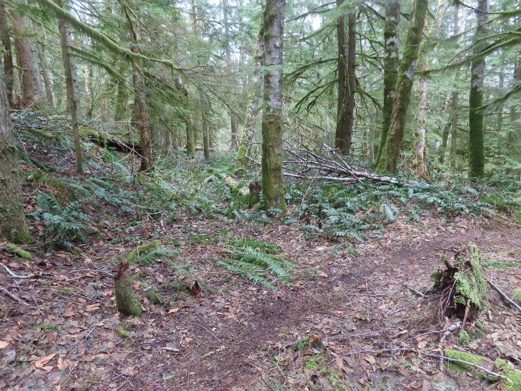

A trail on Tiger Mountain with loop options to Preston Trail, and Dwight's Way. Also use this trail to access the Tiger Mountain Trail.
Bootleg Trail

-
 Length
- 4.6 miles, roundtrip
-
 Elevation Gain
- 1,300 feet
-
 Highest Point
- 2,200 feet
Parking Pass/Entry Fee
Discover Pass
A trail on Tiger Mountain with loop options to Preston Trail, and Dwight's Way. Also use this trail to access the Tiger Mountain Trail.
Continue reading
Hiking Bootleg Trail
Bootleg Trail
Map & Directions
 Trailhead
Before You Go
Parking Pass/Entry Fee
Discover PassWTA Pro Tip: Save a copy of our directions before you leave! App-based driving directions aren't always accurate and data connections may be unreliable as you drive to the trailhead.


