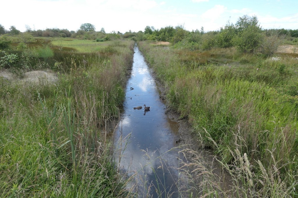
Boundary Bay Regional Park

-
 Length
- 2.0 miles, roundtrip
-
 Elevation Gain
- 0 feet
-
 Highest Point
- 10 feet
Parking Pass/Entry Fee
None
Hiking Boundary Bay Regional Park
Boundary Bay Regional Park
Map & Directions
 Trailhead


