Boundary Trail

-
 Length
- 57.0 miles, roundtrip
-
 Elevation Gain
- 12,300 feet
-
 Highest Point
- 5,690 feet
The trail is currently inaccessible from the Johnston Ridge Observatory due to a landslide on SR 504. The road is expected to be closed through 2027. **The trail is still accessible via the Hummocks trailhead.**
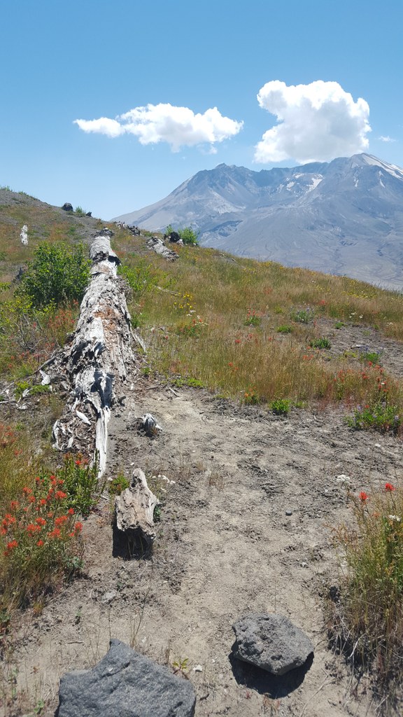

Hiking Boundary Trail

WTA worked here in 2025, 2024, 2023, 2019 and 2018!
Boundary Trail
Map & Directions
 Trailhead
Before You Go
The trail is currently inaccessible from the Johnston Ridge Observatory due to a landslide on SR 504. The road is expected to be closed through 2027. **The trail is still accessible via the Hummocks trailhead.**
Parking Pass/Entry Fee
Northwest Forest PassWTA Pro Tip: Save a copy of our directions before you leave! App-based driving directions aren't always accurate and data connections may be unreliable as you drive to the trailhead.


