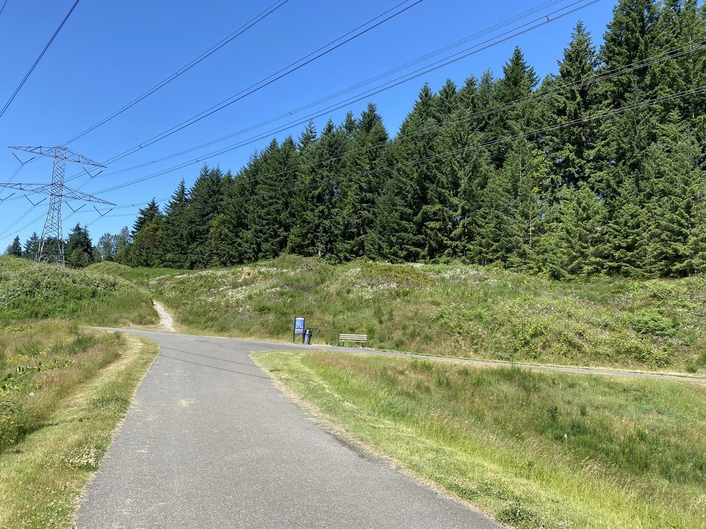

The BPA Trail in Federal Way gets its name from the Bonneville Power Administration. You can visit several parks along the way of this urban trail including Celebration Park, Madrona Park and Panther Lake Park. It also passes by the Weyerhaeuser King County Aquatic Centre. The paved path is ADA accessible and allows leashed dogs. For an even longer journey, check out the West Campus Trail which connects to the BPA Trail.
BPA Trail

-
 Length
- 7.3 miles, roundtrip
-
 Elevation Gain
- 797 feet
-
 Highest Point
- 452 feet
You can visit several parks along the way of this urban trail including Celebration Park, Madrona Park and Panther Lake Park. It also passes by the Weyerhaeuser King County Aquatic Centre. The paved path is ADA accessible and allows leashed dogs.
Continue reading
Hiking BPA Trail
BPA Trail
Map & Directions
 Trailhead
Before You Go
Parking Pass/Entry Fee
NoneWTA Pro Tip: Save a copy of our directions before you leave! App-based driving directions aren't always accurate and data connections may be unreliable as you drive to the trailhead.
Getting There
DRIVING DIRECTIONS
To start at Celebration Park (which the stats above reflect): From I-5 S, take exit 143 and turn right onto S 320th St. Then immediately turn left onto S 324th St. Continue for 0.8 miles, then turn left onto 13th Ave S. Continue for 0.2 miles, then turn right at S 328th St to reach the parking lot.
To reach the trailhead at the King County Aquatic Center: From I-5 S, take exit 142 towards S 348th St to get on WA-18 W. In around 0.3 mile, stay to the right to get on WA-18 W, and in a little under half a mile, continue onto S 348th St. After approximately 0.8 mile, keep to the right as S 348th St merges into SW Campus Drive. In about 80 feet, the King County Aquatic Center will be on the right.
TAKE TRANSIT
If you are traveling by bus, Metro Route 903 has a stop near the BPA Trail at the King County Aquatic Center. (See metro.kingcounty.gov for schedules and connections.)


