Trails for everyone, forever

Home Go Hiking Hiking Guide Breeze Creek Trail

Breeze Creek Trail

Southwest Washington > Vancouver Area
45.8624, -122.6697 Map & Directions
Length
0.71 miles, one-way
Elevation Gain
90 feet
Highest Point
105 feet
Calculated Difficulty About Calculated Difficulty
Easy
Fall on the Breeze Creek Trail. Photo by trip reporter Rod Hooker. Full-size image
Saved to My Backpack

A short, graveled trail wanders through Sternwheeler Park in La Center. Continue reading

  • Dogs allowed on leash
  • Good for kids
  • Rivers

Parking Pass/Entry Fee

None
Rating
3.00 out of 5

Hiking Breeze Creek Trail

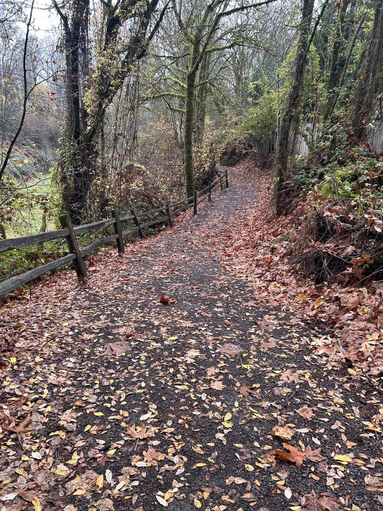
This 0.75-mile trail in a riparian forest follows Breeze Creek, named after La Center settler John Breeze. Completed in 2011 by the City of LaCenter, it is an ADA-trail of compacted gravel 6 feet wide that wends north alongside and overlooking the creek.

Ideal for perambulators and casual walkers, the elevation gain is just 90 feet, with the trail ending in a  neighborhood.

The trail connects the Heritage Park Trail System that follows the East Fork of the Lewis River. Both trailheads are in downtown La Center.

Toilet Information

  • No toilet at trailhead

More information about toilets

Breeze Creek Trail

Map & Directions

Trailhead
Co-ordinates: 45.8624, -122.6697 Open in Google Maps

Before You Go

See weather forecast

Parking Pass/Entry Fee

None

WTA Pro Tip: Save a copy of our directions before you leave! App-based driving directions aren't always accurate and data connections may be unreliable as you drive to the trailhead.

Getting There

From I-5 take exit 16. Drive east on NW LaCenter Road for 2 miles, then turn right onto 4th Street and proceed for 3 blocks to parking area near La Center City Hall.

More Hike Details

Trailhead

Southwest Washington > Vancouver Area

La Center Parks and Recreation

You can improve or add to this guidebook entry!

Breeze Creek Trail

3 Trip Reports

Hiked here recently?

Submit a trip report!
 
Loading trip reports...
Trip Reports