Trails for everyone, forever

Home Go Hiking Hiking Guide Bridle Crest Trail

Alert: Major flooding has prompted evacuations and is impacting communities and public lands across Western Washington. Landslide risk and related hazards are very high and have closed trails and roads, including major highways and forest roads.

Check forecasts, consider delaying your hiking or camping plans, and stay safe out there. 


link

Bridle Crest Trail

Puget Sound and Islands > Seattle-Tacoma Area
47.6608, -122.1639 Map & Directions
Length
2.0 miles, one-way
Elevation Gain
440 feet
Highest Point
486 feet
Calculated Difficulty About Calculated Difficulty
Easy
A sign along the side of the trail. Photo by Erik Morgenstern. Full-size image
  • Dogs allowed on leash
  • Fall foliage

Parking Pass/Entry Fee

None
Saved to My Backpack

A relatively short connector trail running through forests and suburbia between Marymoor Park and Bridle Trails State Park. Continue reading

Rating
2.00 out of 5

Hiking Bridle Crest Trail

From the eastern terminus, cross West Lake Sammamish Parkway at the main Marymoor park entrance and proceed a dozen yards or so to the trailhead on the west side of the road. Start up into the forested ravine, passing a handful of smaller side paths. Keep your eyes open for an old abandoned concrete reservoir structure at the bottom of the ravine and a single, very large fir with its top busted off — rare standing old growth.

Once out of the ravine, you will arrive at Westside Park. At this point, you will need to walk the wide sidewalk up 156th Ave NE to NE 60th St and cross over Highway 520 and the new Light Rail line, with the gravel trail resuming in about three blocks just south of Benjamin Rush Elementary School. 

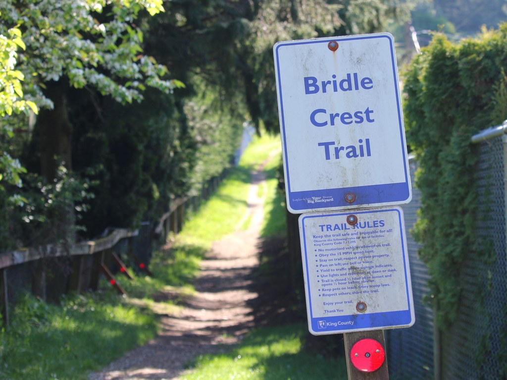
Continue west, crossing 148th Ave NE and 140th Ave NE (both at signaled crosswalks), passing the big Bellevue Golf Course and several horse farm properties until you reach the western terminus and Bridle Trails State Park on the other side of 132nd Ave NE. Retrace your steps for the return trip.  

Toilet Information

  • No toilet at trailhead

More information about toilets

Hike Description Written by
Erik Morgenstern, WTA Correspondent

Bridle Crest Trail

Map & Directions

Trailhead
Co-ordinates: 47.6608, -122.1639 Open in Google Maps

Before You Go

See weather forecast

Parking Pass/Entry Fee

None

WTA Pro Tip: Save a copy of our directions before you leave! App-based driving directions aren't always accurate and data connections may be unreliable as you drive to the trailhead.

Getting There

To get to Marymoor Park on the east end, take Highway 520 to West Lake Sammamish Parkway and proceed south 1,000 feet to the main park entrance. Park in one of the first lots (currently $1 fee) and walk back to the park entrance, cross to the west side of West Lake Sammamish Parkway at the light —  the trailhead is just a few yards south marked with signage. 

The western trailhead is directly across the street from the northwesternmost corner of Bridle Trails State Park. Some limited street parking is available just north along 132nd Ave NE. Otherwise, you can park at the main Bridle Trails State Park lot and walk up through that property; it is most easily accessed by exiting Highway 405 at NE 70th Place, then driving south on 116th Ave NE slightly less than 1 mile to the main lot entrance.  

More Hike Details

Trailhead

Puget Sound and Islands > Seattle-Tacoma Area

City of Redmond

You can improve or add to this guidebook entry!

Bridle Crest Trail

1 Trip Report

Hiked here recently?

Submit a trip report!
 
Loading trip reports...
Trip Reports