Trails for everyone, forever

Home Go Hiking Hiking Guide Burke-Gilman Trail

Alert: On Oct. 1 the federal government began a partial shutdown that will impact National Parks, National Wildlife Refuges and U.S. Forest Service lands in Washington. Here's the latest information we have for hikers and campers


Burke-Gilman Trail

Puget Sound and Islands > Seattle-Tacoma Area
47.6889, -122.4029 Map & Directions
Length
20.0 miles, one-way
Burke-Gilman Trail. Photo by CP. Full-size image
  • Dogs allowed on leash
  • Good for kids
  • Lakes

Parking Pass/Entry Fee

None
Saved to My Backpack

This trail is a main thoroughfare through Seattle and beyond. It is popular with cyclists, runners and walkers. Continue reading

Rating
5.00 out of 5

Hiking Burke-Gilman Trail

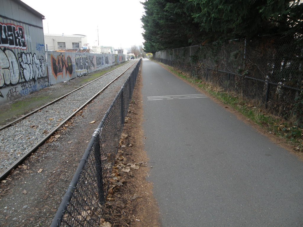
The Burke Gilman is an iconic trail through the Cityscape of Seattle and beyond. What used to be a railway corridor is now the premier option for non-motorized transport across the city. The entire way is paved and can be travelled in its entirety or sampled here and there for a quick neighborhood stroll or connection to one of the many parks that sit along its edge.

There is one short section in Ballard, referred to as “the missing link,” where the route takes travelers on city sidewalks before returning to the trail--otherwise the trail is set apart from car traffic.

The western end of the trail is located at Golden Gardens Park in the Seattle neighborhood of Ballard. From here the trail extends east along the ship canal before following the western edge of Lake Washington toward the town of Lake Forest Park. Here the trail turns east and curves around the lake through Kenmore before ending in Blyth Park in Bothell. This is the official end of the Burke Gilman; however, the path continues on uninterrupted as the Sammamish River Trail. 

Along the way this trail provides access to Gas Works Park, Magnuson Park, and Log Boom Park, as well as others. There are also great trail connections with the Cheshiahud Loop, the Elliot Bay trail and the Sammamish River Trail.

Hike Description Written by
Charlie Wakenshaw, WTA Staff

Burke-Gilman Trail

Map & Directions

Trailhead
Co-ordinates: 47.6889, -122.4029 Open in Google Maps

Before You Go

See weather forecast

Parking Pass/Entry Fee

None

WTA Pro Tip: Save a copy of our directions before you leave! App-based driving directions aren't always accurate and data connections may be unreliable as you drive to the trailhead.

Getting There

Because this is a city trail, there are too many access points to list.

To get to the western end of the trail located in Golden Gardens Park in Ballard:
From I-5 take exit 172 and head west on 85th St. for about 3.5 miles, until the road comes to a point where you must turn right or left. Turn right to get on 32nd Ave NW and go for 1 mile, staying left at any forks as this road curves its way down and becomes Golden Gardens Drive NW, then Seaview Place NW. Then you will arrive at a large parking area straight ahead. Park here and access the trail heading south.

To get to the Eastern end of the trail in Blyth Park:
From Main St. in Bothell turn south on 102nd Ave NE for 0.3 mile, then turn right onto West Riverside Drive for 0.5 mile until the road ends in the parking area for Blyth Park.

Take Transit:

Route 17 stops at the intersection of 32nd Ave NW and 85th St, which is a 0.5-mile walk to the trailhead in Golden Gardens Park.

Routes 238 and 239 stop at the intersection of E Riverside Drive and 102nd Ave NE, which is a 0.6-mile walk to the trailhead in Blyth Park.

More Hike Details

Trailhead

Puget Sound and Islands > Seattle-Tacoma Area

City of Seattle, King County Parks

You can improve or add to this guidebook entry!

Burke-Gilman Trail

35 Trip Reports

Hiked here recently?

Submit a trip report!
 
Trip Reports