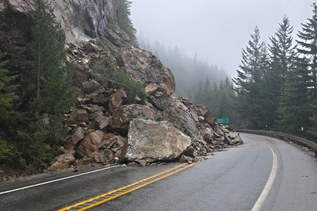

The route to Camels Hump can be reached via the unmaintained Reynolds Creek Trail.
Hiking Camels Hump
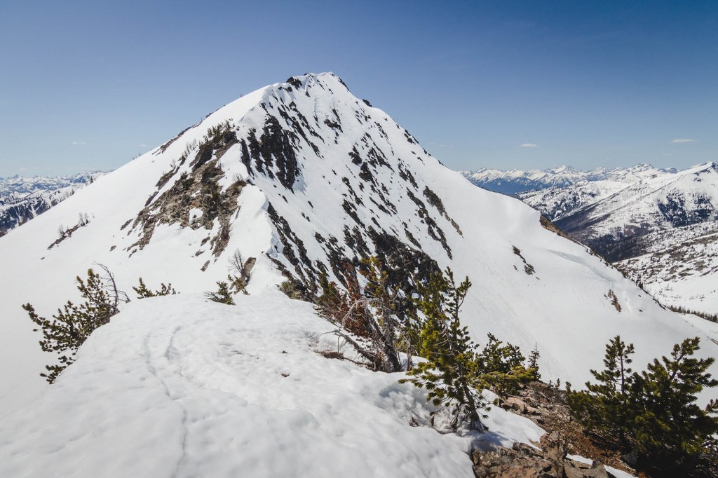
Camels Hump
Map & Directions
 Trailhead
Before You Go
Parking Pass/Entry Fee
NoneWTA Pro Tip: Save a copy of our directions before you leave! App-based driving directions aren't always accurate and data connections may be unreliable as you drive to the trailhead.