

Most trails are human-made, this one is arguably more so than most. The 1937 Civilian Conservation Corps crew who built this trail hewed hundreds of granite steps from the local bedrock, installing them in twisting fashion up one steep canyon and down another. A trip around this loop is a step back in time to an era when trails built through rock were cut primarily with sweat and muscle.
Because this trail passes briefly through the town of Grand Coulee, so you may park and begin your hike in several locations. Parking along North Columbia Avenue is a quiet option that has shade for your car. This northern access of the trail is across private property. The beginning is well signed although the trail is not particularly obvious. A well-manicured lawn is your introduction, please be courteous to the landowners.
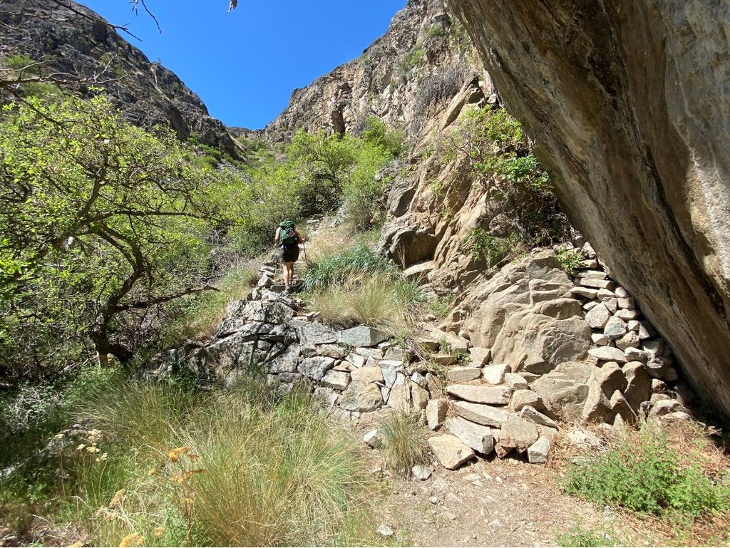
Almost immediately, the trail turns to serious step-ups. Granite step after granite step takes you up the steep ravine. Incredibly, alongside the stairs are small terraces built of scrap rocks, a sign of pride in work and resourceful use of extra materials. Small scrappy fruit trees still inhabit the terraces, a throwback to another time.
Up and up the stairs climb. In the spring, wildflowers burst forth with a riot of colors. In the summer it is searingly hot as the sun’s rays bounce off the walls. After 600 feet of climbing, the trail levels a bit. A righthand fork takes you to Crown Point Vista. This is part of the Steamboat Rock State Park, which has drive-up access and magnificent views of the Grand Coulee Dam (though no better than those from this trail).
Staying left at the fork winds upward another 200 feet. Rare desert flowers cover the rocky top of this outcrop. After enjoying the amazing views turn to the southwest and find a fainter trail down. After dropping a few hundred feet, the constructed granite trail begins again. Note a vintage aqueduct system hanging from the righthand wall of the canyon. Far below can be heard the splashing of Fiddle Creek though most of the terrain here cries for water but has none.
After a seven-hundred-foot descent in less than one mile, the trail exits the canyon just behind Grand Coulee’s townhall. Walk downhill towards the water. On your left is a left leaning sidewalk that seems out of place. This will take you back to North Columbia Ave and your car.

 Trailhead


